Filtered by:
- Category
3 items
- List
- Grid
A subscription to the Price Guide is required to view results for auctions ten days or older. Click here for more information
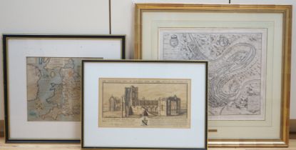

Lot 698
Two antique maps comprising Luxembourg by Georg Braun & Frans Hogenberg and Englalond Anglia
Two antique maps comprising Luxembourg by Georg Braun & Frans Hogenberg and Englalond Anglia Anglosaxonum Heptarchia by William Hole, together wit...
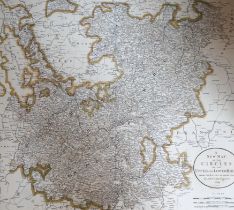
Lot 699
John Cary (1754-1835) set of four late 18th century maps comprising Germany, Upper and Lower
John Cary (1754-1835) set of four late 18th century maps comprising Germany, Upper and Lower Rhine, Portugal and Franconia, printed for J. Cary, L...
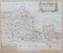
Robert Morden (1650-1703) hand coloured map of Bark Shire, 43cm x 36cm