Filtered by:
- Category,
- Item Type
- List
- Grid
A subscription to the Price Guide is required to view results for auctions ten days or older. Click here for more information

Emanuel Bowen, coloured engraving, Map of the Island of Barbadoes, 37 x 44.5cm ...[more]
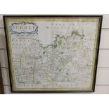
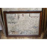
Map of Surrey by Robert Morden
Map of Surrey by Robert Morden ...[more]
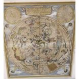
A. Van Luchtenburgh, coloured engraving, Celestial map after Danckerts, 59 x 52cm ...[more]
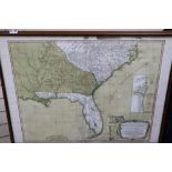
Laurie & Whittle, coloured engraving, New and General map of the Southern Dominions belonging to the
Laurie & Whittle, coloured engraving, New and General map of the Southern Dominions belonging to the United States of America 1794, overall 52 x 7...
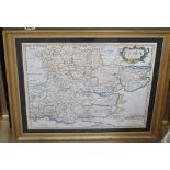
Robert Morden, two coloured engravings, Maps of Hampshire and Essex, together with a Thomas Kitchen,
Robert Morden, two coloured engravings, Maps of Hampshire and Essex, together with a Thomas Kitchen, map of Cardigan Shire, largest 35 x 53cm ......
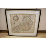
Jacodus Hondius, coloured engraving, Map of Dorsetshyre, 39 x 52cm ...[more]
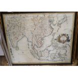
John Senex, coloured engraving, A New Map of India and China 1721, 51 x 60cm ...[more]
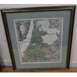
An 18th century Dutch map of Holland 1733, 60 x 51cm ...[more]