Refine your search
Sale Section
Remove filter- Books, Maps and Manuscripts (15)
Estimate
Category
Creator / Brand
Item Type
Filtered by:
- Sale Section
- List
- Grid
A subscription to the Price Guide is required to view results for auctions ten days or older. Click here for more information


A collection of poetry books; History of England by David Hume, 1793 and others in the same set; and other antiquarian books.

The New Illustrated Bible, J.S. Virtue & Co, in 2 vols, blue calf with tooled gilt detiling.
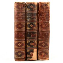
R.F. Gould, The History of Freemasonry, Thomas C Jack, London 1887, in 3 vols., maroon calf with tooled gilt detailing.Qty: 3
Great Domesday, Northamptonshire & Rutland, reprint, slip case with associated volumes, and reprint map, Northamptonshire after Bryant in a tube.
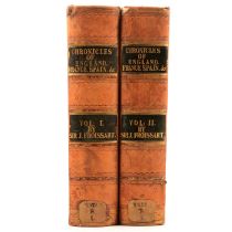
Sir John Froissart, Chronicles of England, France, Spain and the adjoining countries, William Smith London 1839, translated by Thomas Johnes, in 2...
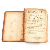
William Leonard, Reports and Cases of Law: argued and adjudged in the Court of Law, at Westminster in the time of the late Queen Elizabeth..., pub...
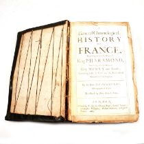
De Mezeray, translated by John Bulteel, A General Chronological History of France, beginning before the reign of King Pharamond..., printed by Tho...
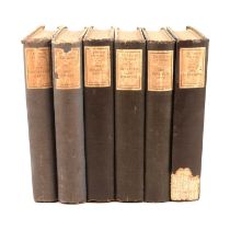
E Beresford Chancellor, The Lives of the Rakes, Philip Allan & Co, London 1925, 6 vols.Qty: 6
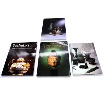
Four boxes of assorted auction catalogues, mostly fine Chinese art and Western decorative art & design auctions at Sothebys, including Gio Ponti, ...
Five boxes reference books.
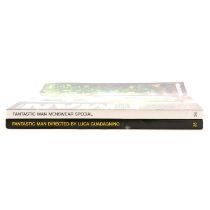
Five boxes reference books, Art, Fantastic Man, etc.Qty: 5 boxes
Small library of books, five boxes, Art and Antiques reference works with a focus on JMW Turner, Alison Uttley children's books, etc.
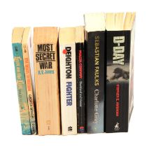
Books; WWI and WWII interest,
Books; WWI and WWII interest, over 400, 11 boxesQty: 12 boxes
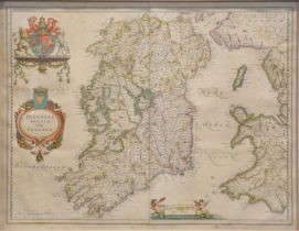
Willem Blaeu, Hibernia Regnum Vulgo Ireland, hand-coloured map, 41x51.5cm.
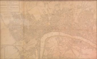
William Faden, A New Pocket Plan of The Cities of London and Westminster, with The Borough of Southwark ....1790, 44x72cm, framed.
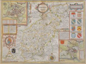
John Speed, Northamptonshire, hand coloured map, 39x52cm, framed, two maps of Leicestershire, map of England and a framed indenture.