Filtered by:
- Category,
- Item Type
4 items
- List
- Grid
A subscription to the Price Guide is required to view results for auctions ten days or older. Click here for more information
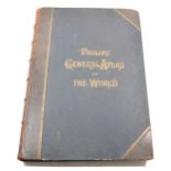

Philips General Atlas of the World, 1898.
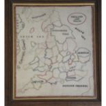
A sampler delineating the county borders of England and Wales, probably 19th century, visible size 41cm x 35cm, framed.
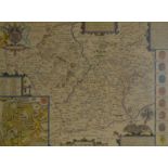
John Speed, Leicester Both Countye and Citie Described, hand-coloured county map, Sudbury & Humble 1610, 39cm x 52cm, framed and glazed front and ...
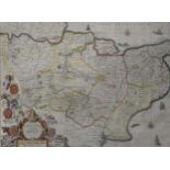
Lot 332
Two handcoloured maps of Kent.
Johannes Blaeu, Cantium - Kent, handcoloured county map, and another map of Kent, incorporating a plan of Canterbury, both 37 x 50cm.