Refine your search
Filtered by:
- Category,
- Item Type
4 items
- List
- Grid
A subscription to the Price Guide is required to view results for auctions ten days or older. Click here for more information
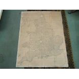

A cloth map "A Commercial Map of the Inland Waterways of England and Wales". Published by John Andrew. May 29th 1972

A coloured engraving of Road map of Chelmsford to Gravesend, framed and glazed, 34cm x 43cm
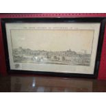
The South Prospect of Nottingham; (1743) 19th Century print, framed and glazed with a print of Cambridge from the Ely Road by William Westall 1815...
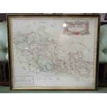
A framed and glazed map of 'Barkshire' by Robert Morden, 35.5cm x 42cm