Refine your search
Filtered by:
- Category,
- Creator / Brand
- List
- Grid
A subscription to the Price Guide is required to view results for auctions ten days or older. Click here for more information
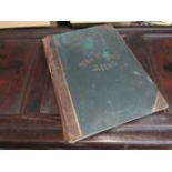

An 1895 Times Atlas, 173 maps, folio, original half calf (very worn)
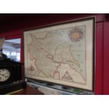
A large reproduction antique map - Christopher Saxton's Map of Yorkshire, framed and glazed, 52cm x 73cm
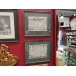
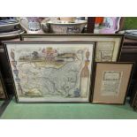
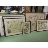
A pair of framed and glazed 19th Century coloured print maps of Norfolk and Suffolk, 21cm x 27cm
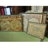
Three reproduction double hemisphere World maps and one other similar (4)
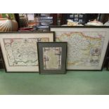
"The Road from Ipswich to Norwich" engraved map by Owen and Bowen, Circa.1730, plus two reproduction maps of Suffolk, all framed and glazed (3)
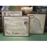
Five reproduction antique maps of Northern England including Yorkshire (North East West Ridings)
Five reproduction antique maps of Northern England including Yorkshire (North East West Ridings) Durham and Northumberland, framed and glazed
Four assorted reproduction antique maps including Sussex, Devon, Bristol Channel and Historic Route of the Crusades, framed and glazed, various si...
Two reproduction maps: "Saxtons Map of Norfolk and Essex", a 19th Century map of Cambridgeshire by Moule (3)
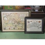
Seven reproduction antique maps of Europe including Britain, Lisbon, Sicily, Malta, Cyrpus etc.
Seven reproduction antique maps of Europe including Britain, Lisbon, Sicily, Malta, Cyrpus etc. framed and glazed, various sizes
John Cary: 'Map of England and Wales, with part of Scotland', engraved coloured folding map,
John Cary: 'Map of England and Wales, with part of Scotland', engraved coloured folding map, backed onto linen, original slip case, printed paper ...