Refine your search
Filtered by:
- Category,
- Creator / Brand
- List
- Grid
A subscription to the Price Guide is required to view results for auctions ten days or older. Click here for more information
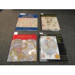

Four volumes on maps by Peter Whitfield: The Charting of the Oceans, The Image of the World,
Four volumes on maps by Peter Whitfield: The Charting of the Oceans, The Image of the World, New Found Lands and The Image of the World
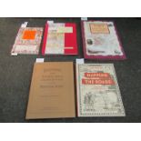
Five volumes on town,
Five volumes on town, city and road maps: Bartholomew's Touring Atlas and Gazetteer of the British Isles 1900 (modern hardback), Mapping the Roads...
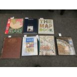
Three volumes on atlases/maps: The Golden Age of Maritime Maps by Catherine Hofmann, Hélène Richard and Emmanuelle Vagnon, Atlas of the British Em...
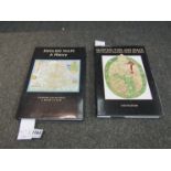
Two British Library volumes on map history: "Mapping Time and Space, How Medieval Mapmakers Viewed their World" by Evelyn Edson and "English Maps ...
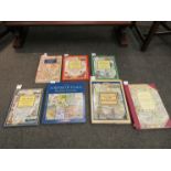
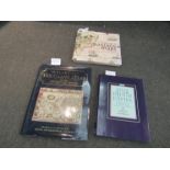
Seven map/cartography books including The County Maps of Old England, Sense of Place by Kim Leslie and The Counties of Britain
Seven map/cartography related volumes including Mapping The World by Nathaniel Harris and The Men
Seven map/cartography related volumes including Mapping The World by Nathaniel Harris and The Men who Mapped The World by Beau Riffenburgh
A set of ten hand coloured maps of "The Road From Kings Lynn to Norwich", 19cm x 12cm
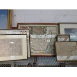
Five 18th Century and later maps including Kitchin hand coloured map of Essex and Morden example
Five 18th Century and later maps including Kitchin hand coloured map of Essex and Morden example
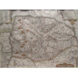
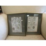
A hand coloured map of Norfolk after Saxton, framed and glazed
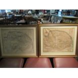
Two Cary maps of Norfolk, one hand coloured, framed and glazed