Refine your search
Filtered by:
- Category,
- Item Type
- List
- Grid
A subscription to the Price Guide is required to view results for auctions ten days or older. Click here for more information


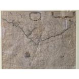
With Map of IrelandCamden (Wm.) Brittania - Ireland and The Smaller Islands in the British Ocean, Folio L. c. 1610 (Section pp. 55 - 200), fold. d...
![Colby (Col.) Ordnance Survey of the County of Londonderry, Vol. I [All Pub.] 4to D.](https://portal-images.azureedge.net/auctions-2020/srfons10043/images/0473917e-d160-450d-80bc-ab6b011df9b0.jpg?w=155&h=155)
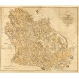
Colby (Col.) Ordnance Survey of the County of Londonderry, Vol. I [All Pub.] 4to D. 1837, plates, maps, plans, cloth; Young (R.M.) The Town Book o...
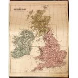
Atlas: Bacon (Geo. W.) New Ordnance Atlas of the British Isles, Lg. folio L. 1883. Printed title, 32 + 1 engd. dbl. page cold. maps & plans, all l...
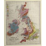
Map: Geological Map of The British Isles, fully coloured, c. 1870, approx. 25cms x 20cms (8" x 10"), framed. (1)
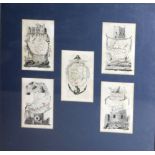
Maps: Framed Collage of 5 miniature engraved Maps, Kerry, Tipperary, Cork, Waterford & Clare / Limerick, framed, attractive item. As a map, w.a.f...
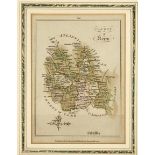
Map: Sayer & Bennett - County of Kerry, engd. map, printed Lond. 1776, hd. cold. in outline, approx.
Map: Sayer & Bennett - County of Kerry, engd. map, printed Lond. 1776, hd. cold. in outline, approx. 21cms x 15cms, framed. Very good. (1) ...[mo...
Irish Map / Chart: Anthoinie (Theunis) Jacobsz / Caspar Lootsman, De Zuyd oost Zyde Van yerlandt Van Dubling tot aen't Eylandt Corckbg 't Amsterda...
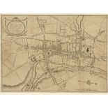
Map: Kilkenny City: - Byron (Samuel) A Plan of the City of Kilkenny, perfected from the latest Surveys and Observations. D. c. 1805, attractive en...
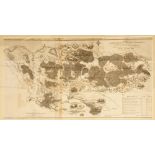
Counties Roscommon & GalwayBogs in Ireland: Griffith (Rich.) Map of part of the Bogs belonging to the District of the River Suck situated in the C...
![A Set of Mercator Maps Irish Map: Mercator (Gerard) [1512-1594] A set of four maps in the](https://portal-images.azureedge.net/auctions-2020/srfons10043/images/6853a2b7-dbd9-49e9-8794-ab6b01271def.jpg?w=155&h=155)
A Set of Mercator MapsIrish Map: Mercator (Gerard) [1512-1594] A set of four maps in the 'Northern Part' and 'Southern Parts' of Ireland, 'Ultonia...
Maps: Co. Galway: Original Manuscript, Map of parts of the Lands of St. Brendans, Lissanruggy and Beannagloos, Co. Galway, by Hodges Figgis & Co.,...

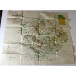
Pre-Boundary Commission Map Irish Map: Population Map of The North of Ireland, Lg. fold. cold.
Pre-Boundary Commission MapIrish Map: Population Map of The North of Ireland, Lg. fold. cold. map, approx. 74cms X 88cms (29" x 34 1/2"). Publishe...
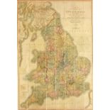
Map: England, Cary (J.
Map: England, Cary (J.) Cary's Six Sheet Map of England and Wales with part of Scotland - Course of the Rivers, and Navigable Canals, Cities, Mark...
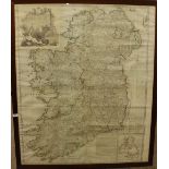
Irish Map: Rocque (John) A Map of the Kingdom of Ireland Divided into Provinces Counties and
Irish Map: Rocque (John) A Map of the Kingdom of Ireland Divided into Provinces Counties and Baronies… hand coloured in outline, approx.. 122cms x...
Maps: Whittle (J.A.) & Rich. Holmes Laurie, Ireland. Anciently Erin,: Ierne: Hiberna: Large lined backed fold. map, full cont. hand colouring, app...
Maps: Hull (Edward) Geological Map of Ireland, large fold. hand coloured linen backed map, published by Ed. Stanford, Lond. 1878, approx. 40" x 31...