2094
Five maps together with two printed maps, to include 19th century maps of Surrey, 20.5 x 26.
1/3


Description
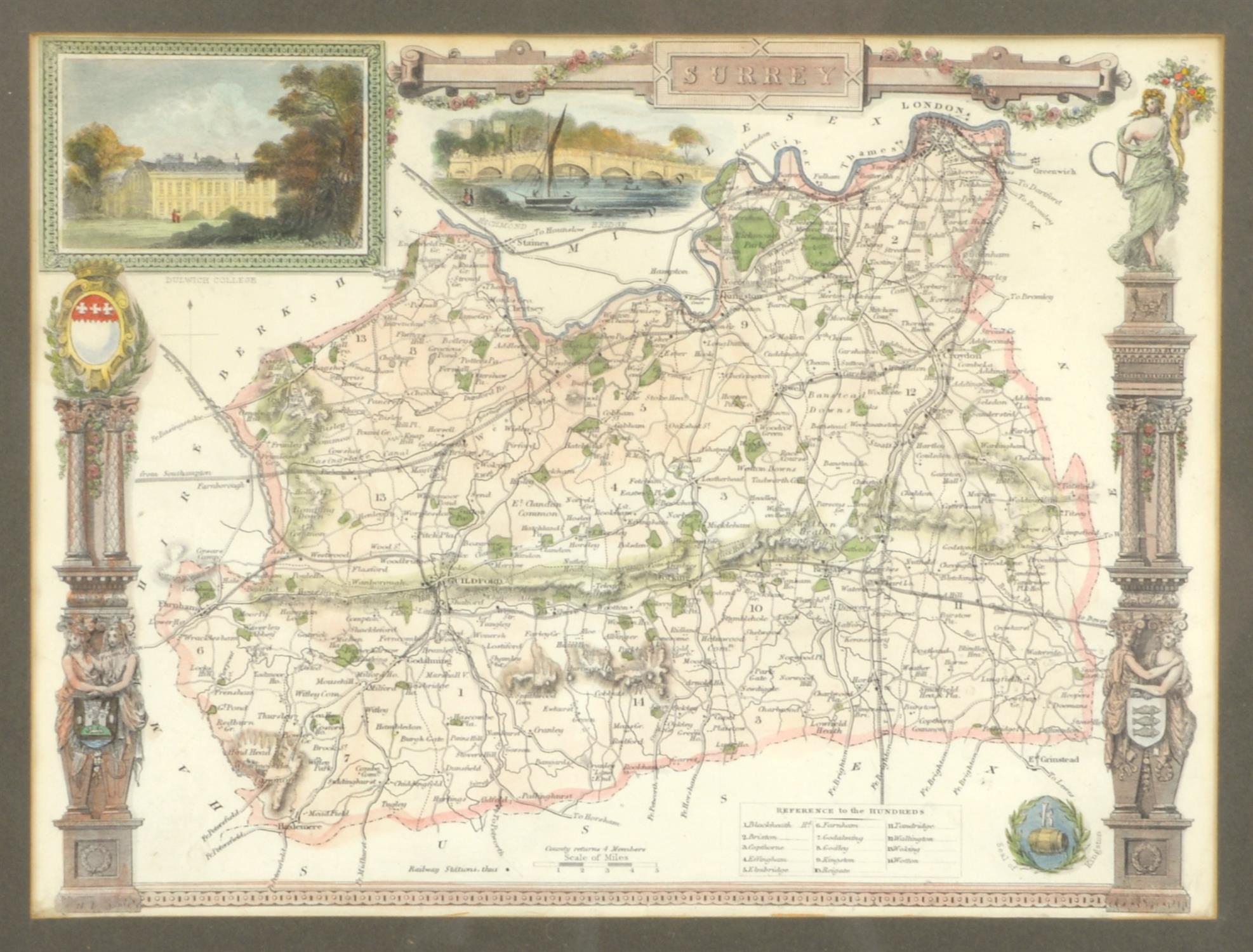
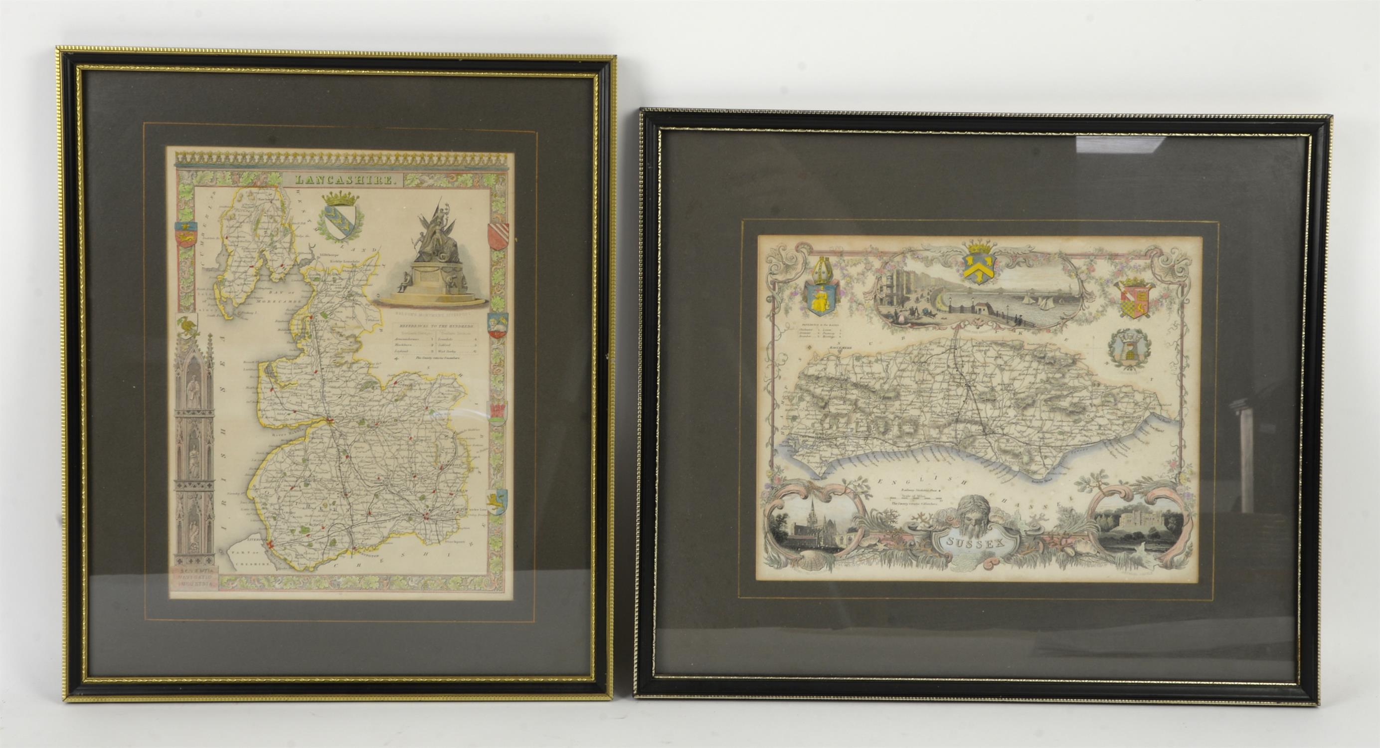
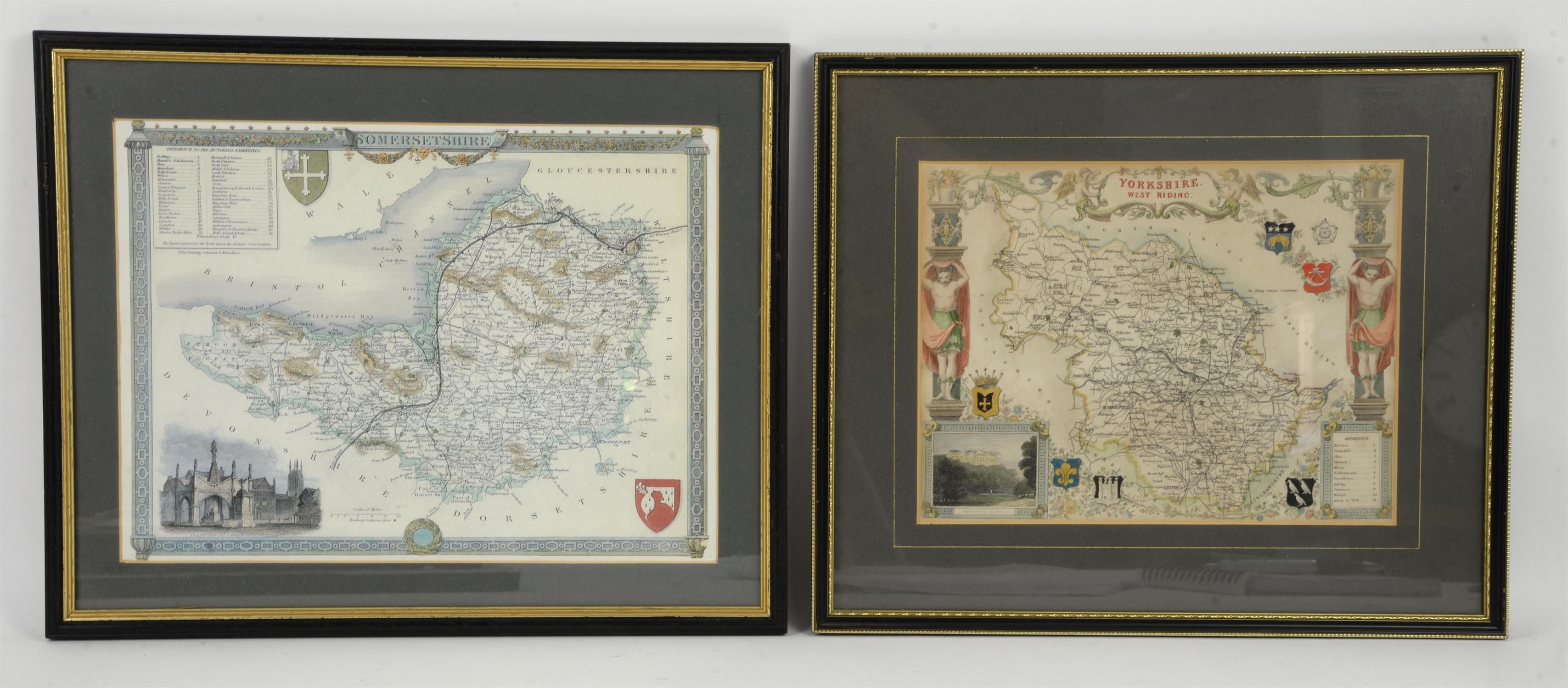
Five maps together with two printed maps, to include 19th century maps of Surrey, 20.5 x 26.5cm, and Lancashire, 27 x 20cm, after Thomas Moule from Barclay's Dictionary 1842/52, a map of Yorkshire North Riding, from Moule's English Counties 1836/7, 20.5 x 27cm, and two other 19th century maps after Moule of Sussex, 20.5 x 26.5cm and Yorkshire West Riding, 20 x 26.5cm, together with a printed map of Dorsetshire, 23 x 30.5cm, and a printed map of Somersetshire, 24.5 x 33cm (7)
Auction Details
Shipping
T&Cs & Important Info
Ask seller a question
Five maps together with two printed maps, to include 19th century maps of Surrey, 20.5 x 26.5cm, and Lancashire, 27 x 20cm, after Thomas Moule from Barclay's Dictionary 1842/52, a map of Yorkshire North Riding, from Moule's English Counties 1836/7, 20.5 x 27cm, and two other 19th century maps after Moule of Sussex, 20.5 x 26.5cm and Yorkshire West Riding, 20 x 26.5cm, together with a printed map of Dorsetshire, 23 x 30.5cm, and a printed map of Somersetshire, 24.5 x 33cm (7)
Antiques, Books, Clocks & Antique Furniture
Sale Date(s)
Venue Address
The Burnt Common Auction Rooms
London Road
Send
Woking
Surrey
GU23 7LN
United Kingdom
We can, for a small fee, provide packaging and postage services within the UK for smaller items such as jewellery, watches, silver, prints, etc. This would be shipped via courier service and insured up to a maximum of £2500. For larger or fragile items such ceramics, glass, metalware etc we can arrange a quote with one of our shipping partners. Please contact us directly for shipping costs at shipping@ewbanks.co.uk