Filtered by:
- Category,
- Item Type
4 items
- List
- Grid
A subscription to the Price Guide is required to view results for auctions ten days or older. Click here for more information
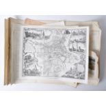

A large collection of assorted post-WWII Second World War and related paper maps and plans. Including; mostly Ordnance Survey maps, a National Gri...

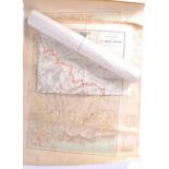
A good collection of vintage pre-WWII Second World War road maps of Great Britain and related places - including Jersey. Including Bartholomew's m...
A collection of antique maps of India comprising: Map of the Peninsula of India from the 19th Degree North of Latitude to Cape Comorin by James Wy...

A collection of three Atlases to include: Andrees Hand-Atlas. A German world atlas published by Verlag von Velhagen and Klasing, Bielefeld 1893. F...