Filtered by:
- Category,
- Item Type
- List
- Grid
A subscription to the Price Guide is required to view results for auctions ten days or older. Click here for more information


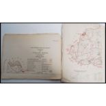
A Stanley Gibbons Adventure stamp album containing various 20th century World stamps along with
A Stanley Gibbons Adventure stamp album containing various 20th century World stamps along with another stamp and map book with 20th century World...
A collection of approx 50 county and town maps published by the Local Government Boundaries Commission for Parliament circa 1885 to show proposed ...
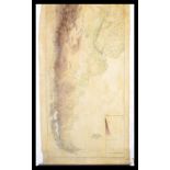
An early 20th century Geographical canvas backed physical map of Argentina, showing contours and
An early 20th century Geographical canvas backed physical map of Argentina, showing contours and mountain ranges. Measures 215cm x 112cm. ...[mo...
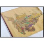
A first half of the 20th century canvas backed Tentative Land Classification Map of England and
A first half of the 20th century canvas backed Tentative Land Classification Map of England and Wales, dated to 1942 and key for quality of land.
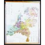
A mid 20th century canvas backed map depicting - Types of Soils in Holland and Norway. Please refer
A mid 20th century canvas backed map depicting - Types of Soils in Holland and Norway. Please refer to images. Measures 162cm x 132cm. ...[more]