Filtered by:
- Category,
- Creator / Brand
6 items
- List
- Grid
A subscription to the Price Guide is required to view results for auctions ten days or older. Click here for more information
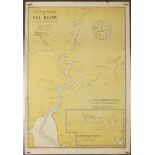

Shipping maps of Cornwall from 1950s.
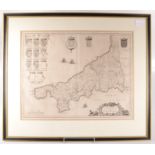
A Blaeu map of Cornwall, latin text to reverse, 40 x 51.5cm.
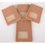
A set of four 1880 Ordnance Survey Office maps in 1/2500 scale, Truro and area, each folding and mounted on linen and each labelled 'Cornwall Libr...
Lot 502
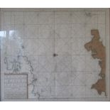
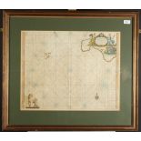
An engraved map entitled 'The New Sea Map of the Third Partie of the Chaness Betext England en
An engraved map entitled 'The New Sea Map of the Third Partie of the Chaness Betext England en France', size of map 52 x 60cm.
Maps and prints, together with a South West Water Authority Key Proposal Plan.
Cornwall and the Isles of Scilly, an 18th century chart after Captain Greenville Collins, sight size 46 x 58cm, coloured.