Filtered by:
- Category,
- Item Type
- List
- Grid
A subscription to the Price Guide is required to view results for auctions ten days or older. Click here for more information
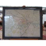

An Underground Map of London, in its original underground oak frame, glazed, 67 x 82cm. Condition report: It can be rolled up and taken out of ...
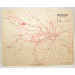
An Underground Map of London, 60.5 x 75.8cm. Condition report: Water stains to some outer edges. ...[more]
Four War Office maps of the Gallipoli front.
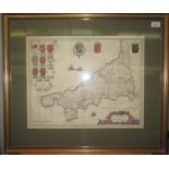
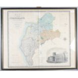
A hand coloured engraved map of Cornwall, by Blaeu, framed and glazed, size of map 40.4 x 51cm.
A hand coloured engraved map of Cornwall, by Blaeu, framed and glazed, size of map 40.4 x 51cm.
An engraved map of Cornwall, by Hondius, size of map 38.8 x 51.3cm.
An engraved map of Cornwall, by Robert Morden, size of map 36.4 x 43.4cm.
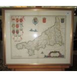
A hand coloured engraved map of Cornwall, by Blaeu, size of map 39 x 50cm.
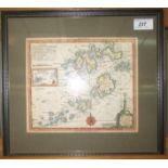
A hand coloured engraved map of the Isles of Scilly, size of map 18.8 x 22.2cm.
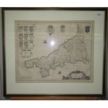
An engraved map of Cornwall, size of map 40.2 x 51.3cm.
A hand coloured engraved map of Kent, size of map 39.2 x 51.3cm.
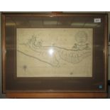
A map of the Helford River, entitled 'Plans on the South Coast of Cornwall', 38.2 x 66.1cm.
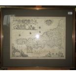
A engraved map entitled 'Norfolk Pars', 27.8 x 43.2cm.
An engraved map entitled 'The Islands of Scilly, to his grace Henry Duke of Grafton; Vice Admiral of England, by Abraham Tovey', 57.3 x 58cm.
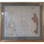
An engraved map entitled 'The New Sea Map of the Third Partie of the Chaness Betext England en
An engraved map entitled 'The New Sea Map of the Third Partie of the Chaness Betext England en France', size of map 52 x 60cm.
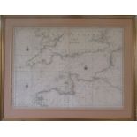
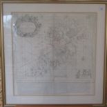
A hand coloured engraved map, entitled 'Carte de la Manche', size of map 59.7 x 82cm.
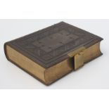
A leather bound Holy Bible, with brass clasp, containing the old and new testaments, printed in London by George E. Eyre and William Spottiswoode,...
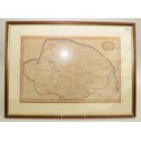
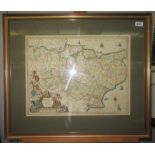
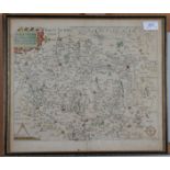
A hand coloured map of Norfolk by Robert Morden, 18th century, framed and glazed, map size 37.
A hand coloured map of Norfolk by Robert Morden, 18th century, framed and glazed, map size 37.5 x 58cm.
A hand coloured map of Lincolnshire by Robert Morden, 18th century, framed and glazed, map size 35 x 41.5cm.
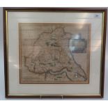
A hand coloured map of The East Riding of Yorkshire by Robert Morden, 18th century, framed and glazed, map size 36.5 x 42.5cm. Condition report:...
Two unframed maps of the Remote British Isles, Pinkerton's Modern Atlas, 79 x 56cm, a limited edition print entitled 'The Lucky Seven', Thomas W. ...
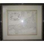
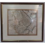
An engraved and hand coloured map of the county of Cumberland, from an Actual Survey made in the years 1821 & 1822 by C. & J. Greenwood, 69 x 84cm...
A framed map,
A framed map, entitled 'Wiltoniae Comitatus herbida Planicie nobilius vulgo will Shire pars olim Belgarvm', 35 x 40.5cm, and a framed wall mirror,...