Filtered by:
- Category
- List
- Grid
A subscription to the Price Guide is required to view results for auctions ten days or older. Click here for more information
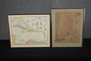

'Bowles's new pocket map of the most inhabited part of New England; comprehending the provinces of
'Bowles's new pocket map of the most inhabited part of New England; comprehending the provinces of Massachusetts Bay and New Hampshire'. Circa 180...
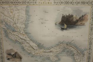
Isthmus of Panama. Engraved by J. Wrightson, Illustrated by H. Warren. Published by John Tallis
Isthmus of Panama. Engraved by J. Wrightson, Illustrated by H. Warren. Published by John Tallis and Co. 1850. Framed and glazed. H.40 W.48cm.
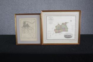
Two framed UK maps. Lambeth and Surrey. The Surrey map printed 1829 by Greenwood & Co. Framed and
Two framed UK maps. Lambeth and Surrey. The Surrey map printed 1829 by Greenwood & Co. Framed and glazed. H.43 W.38cm.
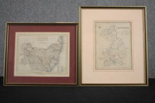
Two engraved maps of Suffolk and Cambridge. Framed and glazed. H.39 W.33cm. (largest)
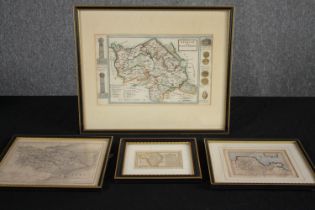
A collection of hand coloured eighteenth century maps of Denbigh and Flintshire, Radnorshire, and
A collection of hand coloured eighteenth century maps of Denbigh and Flintshire, Radnorshire, and Glamorganshire. With a 19th century engraved map...