Filtered by:
- Category,
- Creator / Brand
- List
- Grid
A subscription to the Price Guide is required to view results for auctions ten days or older. Click here for more information
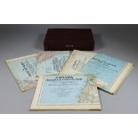

Twenty-Two National Geographic Magazine Maps, Circa 1940-1950, used as pullout supplements to the
Twenty-Two National Geographic Magazine Maps, Circa 1940-1950, used as pullout supplements to the magazine, including "Classical Lands of the Medi...
Robert Morden (1668-1703) - Coloured engraving - Map of Kent, 13.75ins x 25ins, and three 18th
Robert Morden (1668-1703) - Coloured engraving - Map of Kent, 13.75ins x 25ins, and three 18th Century coloured engravings from Hasted's History o...
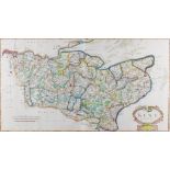
Robert Morden (1650-1703) - Three coloured engraved maps - "The West Riding of Yorkshire", 14ins x
Robert Morden (1650-1703) - Three coloured engraved maps - "The West Riding of Yorkshire", 14ins x 16.25ins, "Worcestershire", 14.25ins x 16.5ins,...
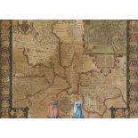
John Speed (1552-1629) - Coloured engraving - "Oxfordshire Described", 15.25ins x 20.5ins, framed
John Speed (1552-1629) - Coloured engraving - "Oxfordshire Described", 15.25ins x 20.5ins, framed and glazed to both sides
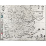
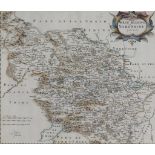
Joan Blaeu (1599-1673) - Engraving - "Essexia Comitatus", 16.25ins x 21ins, and Robert Morden (
Joan Blaeu (1599-1673) - Engraving - "Essexia Comitatus", 16.25ins x 21ins, and Robert Morden (1668-1703) - Two engravings - Maps of Middlesex and...
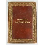
Henry Teesdale - "A New Chart of the World on Mercator's Projection, with the Tracks of the Most
Henry Teesdale - "A New Chart of the World on Mercator's Projection, with the Tracks of the Most Celebrated and Recent Navigators, 1845", engraved...