Filtered by:
- Category
- List
- Grid
A subscription to the Price Guide is required to view results for auctions ten days or older. Click here for more information
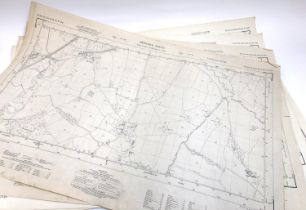

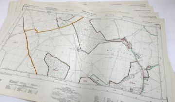
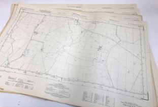
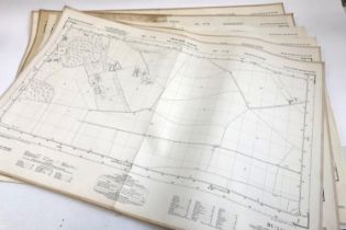
Four Ordinance Survey maps, scale 1:2500. PLAN ST 3201 & 3301, 3202 & 3302, 3203 & 3303, 3400 &
Four Ordinance Survey maps, scale 1:2500. PLAN ST 3201 & 3301, 3202 & 3302, 3203 & 3303, 3400 & 3500.
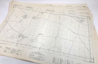
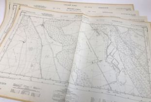
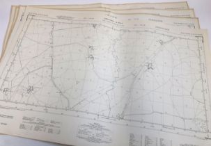
Four Ordinance Survey maps, scale 1:2500. PLAN ST 3402 & 3502, 3403 & 3503, 3404 & 3504, 3604 &
Four Ordinance Survey maps, scale 1:2500. PLAN ST 3402 & 3502, 3403 & 3503, 3404 & 3504, 3604 & 3704.
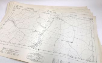
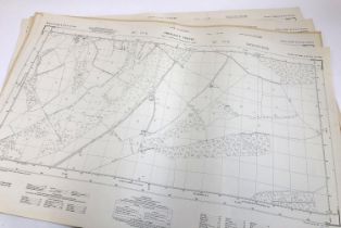
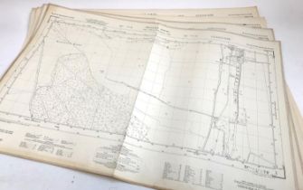
Four Ordinance Survey maps, scale 1:2500. PLAN ST 3800 & 3900, 4800 & 4900, 4801 & 4901, 7600 &
Four Ordinance Survey maps, scale 1:2500. PLAN ST 3800 & 3900, 4800 & 4900, 4801 & 4901, 7600 & 7700.
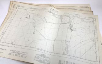
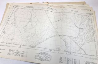
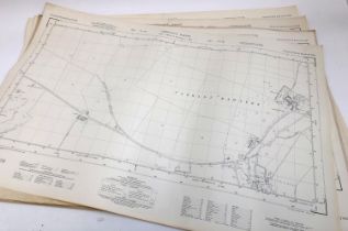
Four Ordinance Survey maps, scale 1:2500. PLAN ST 7601 & 7701, 7603 & 7703, 7604 & 7704, 7606 &
Four Ordinance Survey maps, scale 1:2500. PLAN ST 7601 & 7701, 7603 & 7703, 7604 & 7704, 7606 & 7707.
Four Ordinance Survey maps, scale 1:2500. PLAN ST 7607 & 7707, 7608 & 7708, 7800 & 7900, 7801 &
Four Ordinance Survey maps, scale 1:2500. PLAN ST 7607 & 7707, 7608 & 7708, 7800 & 7900, 7801 & 7901.
Four Ordinance Survey maps, scale 1:2500. PLAN ST 7804 & 7904, 7805 & 7905, 7806 & 7906, 8000 &
Four Ordinance Survey maps, scale 1:2500. PLAN ST 7804 & 7904, 7805 & 7905, 7806 & 7906, 8000 & 8100.
Four Ordinance Survey maps, scale 1:2500. PLAN ST 7806 & 7906, 8005 & 8105, 8007 & 8107, 8009 &
Four Ordinance Survey maps, scale 1:2500. PLAN ST 7806 & 7906, 8005 & 8105, 8007 & 8107, 8009 & 8109.
Four Ordinance Survey maps, scale 1:2500. PLAN ST 8009 & 8109, 8022 & 8122, 8023 & 8123, 8026 &
Four Ordinance Survey maps, scale 1:2500. PLAN ST 8009 & 8109, 8022 & 8122, 8023 & 8123, 8026 & 8126.
Four Ordinance Survey maps, scale 1:2500. PLAN ST 8029 & 8129, 8205 & 8305, 8208 & 8308, 8209 &
Four Ordinance Survey maps, scale 1:2500. PLAN ST 8029 & 8129, 8205 & 8305, 8208 & 8308, 8209 & 8109.
Four Ordinance Survey maps, scale 1:2500. PLAN ST 8220 & 8320, 8400 & 8500, 8401 & 8501, 8402 &
Four Ordinance Survey maps, scale 1:2500. PLAN ST 8220 & 8320, 8400 & 8500, 8401 & 8501, 8402 & 8502.
Four Ordinance Survey maps, scale 1:2500. PLAN ST 9205 & 9305, 9206 & 9306, 9207 & 9307, 9208 &
Four Ordinance Survey maps, scale 1:2500. PLAN ST 9205 & 9305, 9206 & 9306, 9207 & 9307, 9208 & 9308.
Four Ordinance Survey maps, scale 1:2500. PLAN ST 9206 & 9306, 9207 & 9307, 9208 & 9308, 9209 &
Four Ordinance Survey maps, scale 1:2500. PLAN ST 9206 & 9306, 9207 & 9307, 9208 & 9308, 9209 & 9309.
Six Ordinance Survey maps, scale 1:2500. PLAN ST 9207 & 9307, 9208 & 9308, 9210 & 9310, 9211 & 9311,
Six Ordinance Survey maps, scale 1:2500. PLAN ST 9207 & 9307, 9208 & 9308, 9210 & 9310, 9211 & 9311, 9212 & 8312, 9409 & 9509.

Harumi Yamaguchi, 'Banana Lover', printed by Scandecor, 98x68cm
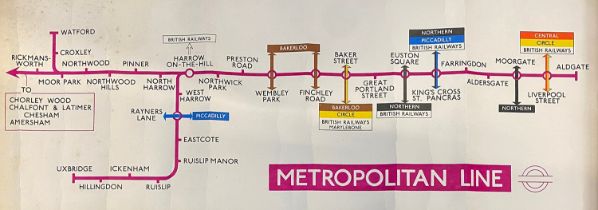
London transport interest: Metropolitan Line route map, printed by Waterlow Sons, London & Dunstable, 62x22
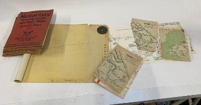
Railway interest: SME sketch plan of Moorgate, various British Rail maps, Motorists Touring Guide;
Railway interest: SME sketch plan of Moorgate, various British Rail maps, Motorists Touring Guide; and an extremely long diagram of Epping 40'/1" ...
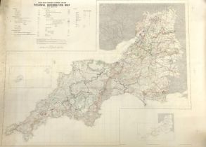
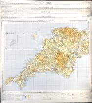
South West Economic Planning Region Map - Regional Information Map, August 1970, Scale unknown,
South West Economic Planning Region Map - Regional Information Map, August 1970, Scale unknown, large

NANSEN, F., 'Farthest North', Vol. 2 only. The Norwegian Polar Expedition 1893-1896. Maps present
NANSEN, F., 'Farthest North', Vol. 2 only. The Norwegian Polar Expedition 1893-1896. Maps present but rather disarrayed.

BRITISH TOPOGRAPHY and others: Shropshire/Somerset and others. Also a group of good OS maps,
BRITISH TOPOGRAPHY and others: Shropshire/Somerset and others. Also a group of good OS maps, Ladybirds and a 1949 1st of 'The Sea Shore' (New Natu...

MAPS: a box of maps, British and European mostly.
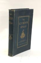
ATLAS (Victorian): BARTHOLOMEW, J.G. (ed.), 'The Citizen's Atlas of the World', Newnes, c. 1899.
ATLAS (Victorian): BARTHOLOMEW, J.G. (ed.), 'The Citizen's Atlas of the World', Newnes, c. 1899. Good.
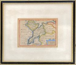
A miniature 18th century map of Anglesey and Carnavan, hand coloured engraving, 9x13cm
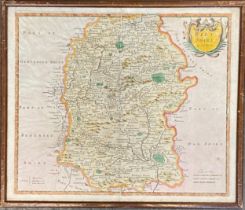
An early 18th century hand coloured map of Wiltshire by Robert Morden, 36x43cm
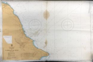
Whitby to Flamborough Head Admiralty chart. Scale 1:75000 at lat 54°00'. Printed July 1990.
Whitby to Flamborough Head Admiralty chart. Scale 1:75000 at lat 54°00'. Printed July 1990.
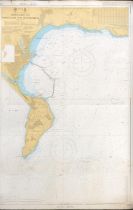
Local interest: Approaches to Portland and Weymouth Admiralty Chart. Scale 1:20000. Printed March
Local interest: Approaches to Portland and Weymouth Admiralty Chart. Scale 1:20000. Printed March 1993.
Ordnance Survey of Great Britain Quarter Inch Fifth Series, sheets 12, 13, 14, 15, 16, to include
Ordnance Survey of Great Britain Quarter Inch Fifth Series, sheets 12, 13, 14, 15, 16, to include South West, South Wales, Midlands, East Anglia, ...
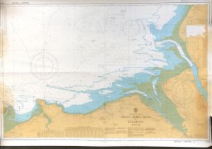
Great Ormes Head to Liverpool Admiralty chart. 1:75000 at lat 53°30'. Together with Loch Scridain
Great Ormes Head to Liverpool Admiralty chart. 1:75000 at lat 53°30'. Together with Loch Scridain Admiralty chart, scale 1:25000
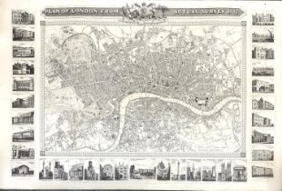
'Plan of London from actual survey 1832' engraving by John Shury. Together with two 18th century
'Plan of London from actual survey 1832' engraving by John Shury. Together with two 18th century engraving reproductions of London and Westminster...
A Geographia Ltd general reference wall map of England, linen backed, 150x196cm