Filtered by:
- Category
- List
- Grid
A subscription to the Price Guide is required to view results for auctions ten days or older. Click here for more information
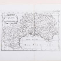

18th/19th century monochrome map "Languedoc et Provence", image 36cm x 27cm, 54cm x 46cm overall,
18th/19th century monochrome map "Languedoc et Provence", image 36cm x 27cm, 54cm x 46cm overall, framed

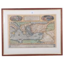
18th/19th century hand-coloured map "Provincia, La Province Maris Mediterranei Paris", a cartouche
18th/19th century hand-coloured map "Provincia, La Province Maris Mediterranei Paris", a cartouche depicting the name Amfelodamis, 61cm x 51cm ove...
An 18th/19th century hand-coloured map of the Mediterranean, "Pere Grinationis Divi Pavli Typvs
An 18th/19th century hand-coloured map of the Mediterranean, "Pere Grinationis Divi Pavli Typvs Corographicvs", 65cm x 51cm overall, framed
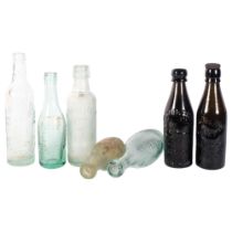
A group of aqua mineral water bottles, a Bewick Bros bottle, 20cm, and another ale bottle
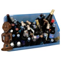
A collection of 1977 Jubilee ales, and other ales for Royal anniversaries and occasions
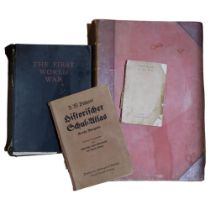
Bathy Orthographical World Mapping, atlas etc (4)
Box of Ordnance Survey books, calendars and ephemera
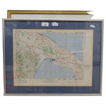
Framed map of Barbados, and a map of Taranto, 44cm x 57cm overall
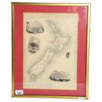
John Tallis & Company London and New York, 19th century hand coloured map of New Zealand, drawn
John Tallis & Company London and New York, 19th century hand coloured map of New Zealand, drawn and engraved by J Rapkin, 45cm x 36cm overall, fra...