Refine your search
Filtered by:
- Category,
- Item Type
3 items
- List
- Grid
A subscription to the Price Guide is required to view results for auctions ten days or older. Click here for more information
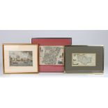

Lot 53
18th Century map "Broad Street & Cornhill Wards divided into parishes according to a new survey",
18th Century map "Broad Street & Cornhill Wards divided into parishes according to a new survey", 23.5cm x 18cm, housed in a silvered glazed frame...
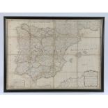
Lot 117
19th Century folding map of Spain and Portugal, published by Laurie & Whittle, with hand written
19th Century folding map of Spain and Portugal, published by Laurie & Whittle, with hand written details verso, housed in a double sided glazed eb...

Educational and other posters to include maps, world locations, heraldry etc. (qty)