Refine your search
Filtered by:
- Sale Section,
- Category,
- Creator / Brand
- List
- Grid
A subscription to the Price Guide is required to view results for auctions ten days or older. Click here for more information

BLAEU, Johannus : Levinia, vice Comitatus. The Province of Lennox, called the Shyre of Dun - Britton, hand coloured map of West Scotland, size : 5...
BLOME, Richard - A Mapp of Devon Shire With it's Hundreds:. 17th cent engraved map, 310 x 260 mm, age discolouration, f & g, 1673. * Batten & Benn...
CARY, J - A Map of Sussex, from the best Authorities : hand coloured map, 505 x 350 mm, published by John Stockdale, 1805. Attractive gilt frame. ...
CARY, J - Cary's New and Correct English Atlas : being a New Set of County Maps ... (etc), 42 original hand coloured maps becoming loose in batter...
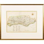
CARY, John, Map of Sussex:, hand coloured, Circa 1805.
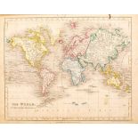
DOWER, John - A New General Atlas of Modern Geography : 50 maps with original full wash colouring,
DOWER, John - A New General Atlas of Modern Geography : 50 maps with original full wash colouring, title-and contents pages soiling with repairs, ...
![JANSSON, Jan - [ CHESHIRE ] Cestria Comitatus Palatinus.](https://portal-images.azureedge.net/auctions-2022/bearne10108/images/d283d146-427d-4b5d-a1a8-ae7700d71dfc.jpg?w=155&h=155)
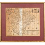
JANSSON, Jan - [ CHESHIRE ] Cestria Comitatus Palatinus. The Countre Palatine of Chester : hand coloured map, size : 480 x 360 mm, f & g, c1644. *...

MERCATOR, Gerard - Candia (Crete) cum Insulis aliquot circa Graeciam : hand coloured map,475 x 335 mm, light foxing, attractively f & g, early 17...
MORDEN, Robert - Devonshire : hand coloured map, size : 415 x 365 mm, f & g, circa 1695. ...[more]
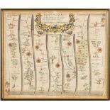
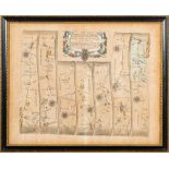
OGILBY, John : hand coloured strip road map Oakeham to Richmond." The Continuation of the extended road from Oakeham in Rutland to Richmond com Eb...
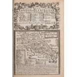
OWEN, John & BOWEN, Eman. - Britannia Depicta or Ogilby Improv'd : 273 engraved plates inc. a full set of 54 county maps and 202 road maps, conten...
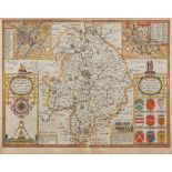
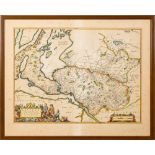
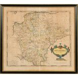
SPEED, John - Worcestershire Described : hand coloured map, size : 510 x 385 mm, Thomas Bassett & Richard Chiswell, English text, c1676, f & g. Wi...
SPEED, John - Worcestershire Described : hand coloured map, size : 515 x 385 mm, John Sudbury & George Humble, f & g, circa 1610. With - Ogilby, ...