Refine your search
Filtered by:
- Category,
- Creator / Brand
- List
- Grid
A subscription to the Price Guide is required to view results for auctions ten days or older. Click here for more information
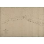

Two linen backed unused charts 'Antarctic Ocean' Sheet III and Sheet IV, published by the Admiralty:, London 1904 and 1909 respectively, 69cm x 1...
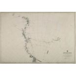
An Admiralty published chart 'Antarctic Ocean Sheet VIII':, 69cm. x 100cm.
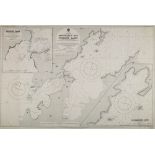
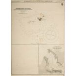
An Admiralty published chart 'New Zealand South Island-North Coast Admiralty Bay and current basin'
An Admiralty published chart 'New Zealand South Island-North Coast Admiralty Bay and current basin' after the survey by SS 'Terra Nova' British An...
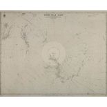
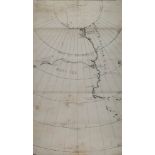
An Admiralty published chart 'South Polar Chart':, circa 1914, 69cm. x 100cm.
An Admiralty published chart 'Anchorages on and off the North Coast (New Zealand)': 48.5 x67cm.
An Admiralty published chart 'Anchorages on and off the North Coast (New Zealand)': 48.5 x67cm.
A hand drawn and annotated map of the South Pole (unknown cartographer) showing the Scott & Amundsen routes to the pole:, reputedly used for lect...
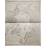
A group of various Arctic navigational charts: including a Hydrographic Office 'Chart of The North
A group of various Arctic navigational charts: including a Hydrographic Office 'Chart of The North Polar Sea', after Captn Washington RN, London ...