Refine your search
Filtered by:
- Sale Section,
- Item Type
3 items
- List
- Grid
A subscription to the Price Guide is required to view results for auctions ten days or older. Click here for more information

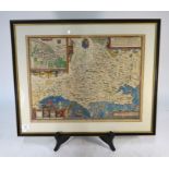
Two 17th century county map engravings by Robert Morden, Hampshire and Surrey, 37 x 43 cm, mounted framed and glazed (2)
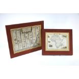
A 17th century road map engraving by John Ogleby, London to Poole, showing the stretch from Alresford to Poole and then Lymington to Southampton 3...
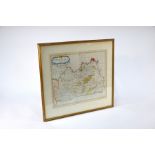
A 17th century John Speed/Joducus Hondius county map, 'Dorsetshyre', 39 x 51 cm, mounted framed and glazed