Refine your search
Filtered by:
- Category,
- Item Type
- List
- Grid
A subscription to the Price Guide is required to view results for auctions ten days or older. Click here for more information

A George III steel engraved map 'Atlantic Islands' (Cape Verdis, Canaries, Azores and Madeira) by T Clerk for Thomson's New General Atlas 50 x 60...
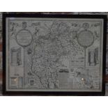
An unframed John Speede County map engraving, Northumberland, dated 1610 and a Robert Morden map of Northumberland, unframed and attached to origi...
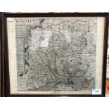
Uncoloured County map engraving
A 19th century uncoloured County map engraving after John Speed, Cumberland, 39 x 52 cm, framed and glazed, label verso gives provenance of John R...
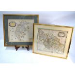
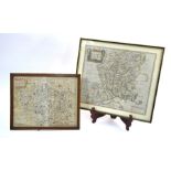
Two 17th century County map engravings by Robert Morden, Cumberland and the West Riding of Yorkshire, 36.5 x 42.5 cm and 36 x 42 cm respectively, ...
A 17th century Norden & Hole county map engraving 'Hamshire' (sic), 32 x 29 cm, with text in reverse, framed ...[more]
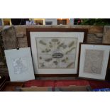
A 17th century map engraving
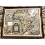
A 17th century map engraving after Abraham Ortelius, 'Africae Tabula Nova', 38 x 50.5 cm, framed Overall good condition, no tears, a few worm perf...
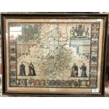
A 17th century John Speede County Map of Cambridgshire (sic.), dated 1610, 39 x 53 cmGeneral discolouration all over, slightly faded colours, two ...
A 17th century map engraving after Saxton & Kip, 'Wiltoniae' (Wiltshire), 29 x 37 cm, framed and glazed, to/w a Robert Morden county map of Hampsh...