Filtered by:
- Category,
- Item Type
- List
- Grid
A subscription to the Price Guide is required to view results for auctions ten days or older. Click here for more information
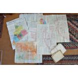

World War 1 maps: a hand-amended (cut and spliced) map of trenches and positions at the battle of
World War 1 maps: a hand-amended (cut and spliced) map of trenches and positions at the battle of the Somme, corrected to 16/9/16, two 1918 Ordnan...
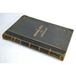
Johnston, Alexander Keith - The National Atlas, Edinburgh: Couran & Co, 41 hand-tinted steel engraved maps, half Morocco and gilt dec cloth, foli...
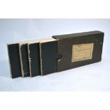
Creighton (R.
Creighton (R.) A Map of England & Wales, Divided into Counties, Parliamentary Divisions and Dioceses, Shewing the Principal Roads, Railways, River...
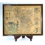
A John Speede country map engraving 'Darbieshire described, Anno 1610', framed and glazed with glossary verso, 39 x 52 cm Condition Report Late...
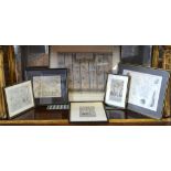
A Robert Morden map engraving 'The Smaller Islands in the Indian Ocean', 17 x 22.5 cm to/w three road maps - Alresford to Salisbury via Southampto...
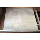
A large linen-back local Estate map of land to the north of Itchen Abbas (now part of the Grange
A large linen-back local Estate map of land to the north of Itchen Abbas (now part of the Grange Estate), 250 x 194 cm