Refine your search
Filtered by:
- Sale Section,
- Category
- List
- Grid
A subscription to the Price Guide is required to view results for auctions ten days or older. Click here for more information
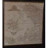

18th Century English School - map.
18th Century English School - "The Environs of Muker and Lune and Stainmoor Forests with an inset plan of Ripon", engraved map with hand-colouring...
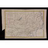
M* Brion de la Tour - map.
M* Brion de la Tour - "Carte de la Tartarie Chinoise" - an antique engraved map with hand-colouring, 23.5 x 34.5cms, unframed.
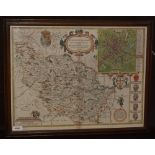
John Speede - map.
John Speede - "The West Ridinge of Yorkeshyre with the most famous and fayre citie Yorke described 1610" - an engraved map with hand-colouring, 38...
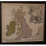
Johann Baptist Homann - map.
Johann Baptist Homann - "Magna Britannia..." - a map of the British Isles, engraving with hand-colouring, 48.5 x 57.5cms (plate size), in frame.
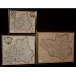
Robert Morden - maps.
Robert Morden - "Episcopatus Dunelmensis" - A map of Durham, engraving with hand-colouring, 36 x 41cms; together with two other antique engraved m...