Filtered by:
- Sale Section,
- Item Type
- List
- Grid
This auctioneer has chosen to not publish their results. Please contact them directly for any enquiries.
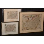

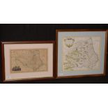
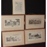
17th Century British School - "A Mapp of ye County of Norfolke with its hirndreds", engraving with hand-colouring; a strip-map of the road from Ki...
Robert Morden - maps.
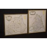
Robert Morden - "Episcopatus Dunelmensis...", map of Durham; and a map of Northumberland, engravings with hand-colouring, 37 x 43cms and 44 x 37cm...
Robert Morden - maps.
Robert Morden - "Cumberland" and "Westmorland", antique engraved maps with hand-colouring, 38 x 44cms; together with a reproduction map of Cumberl...
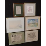
Maps and watercolours.
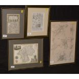
19th Century British School - Two maps of Durham County, engravings with hand-colouring, 19 x 25cms; a strip map of the road from Berwick to Jedbu...
Robert Morden - maps.
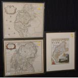
Robert Morden - "Episcopatus Dunelmensis Vulgo the Bishoprick of Durham", signed, engraving, 36cm x 42cm; together with two other maps of Durham, ...
18th Century French School - "Plan de Boulogne", "Carte du Golfe de Benin" and two other antique coastal charts, engraving with hand-colouring, va...
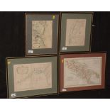
John Ogilby and other cartographers - A strip map of the road from Tynemouth to Hexham; a map of Westmorland; and other maps, various sizes, all f...
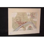
R* Beilby after John Brand - "A plan of Newcastle upon Tyne and Gateshead 1788", engraving with hand-colouring, 18th Century impression, 31 x 45cm...
Thomas Kitchin - "Northumberland drawn from an actual survey", engraving with hand-colouring, 24 x 20cms; together with four antique engravings of...