
Refine your search
Filtered by:
- Category,
- Creator / Brand
- List
- Grid
This auctioneer has chosen to not publish their results. Please contact them directly for any enquiries.
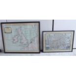

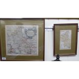
Two coloured maps, viz.
Two coloured maps, viz. a copy of John Speed's 'Middlesex' 12'' x 17'' framed; and 'The British Isles of the Coasts of Great Britain & Ireland' ...
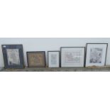
Five various British 'antique' maps, viz. 'Berkshire', 'Oxfordshire', 'Buckinghamshire', an extract route map 'London to Oxford' and 'England' la...
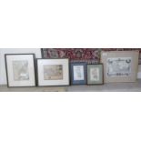
Five late 18th & 19thC coloured county maps, viz. 'Staffordshire', 'Berkshire' (x2), 'Buckinghamshire' (x2) largest 8'' x 10'' framed BSR ...
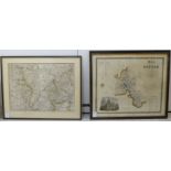
A coloured county map, drawn by John Andrews and published by I.Stockdale 1867, describing parts of Oxfordshire, Buckinghamshire and Berkshire, ce...
A 17thC coloured county map 'Buckinghamshire' 12'' x 11'' framed; and an early 19thC coloured county map 'Buckinghamshire' 4'' x 7'' framed ...