Filtered by:
- Sale Section,
- Category
2 items
- List
- Grid
A subscription to the Price Guide is required to view results for auctions ten days or older. Click here for more information
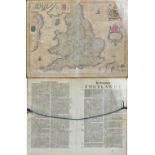

Lot 1509
JAN JANSSON; a 17th century engraved map 'Anglia', a map of England and Wales, with script verso,
JAN JANSSON; a 17th century engraved map 'Anglia', a map of England and Wales, with script verso, 39 x 49cm, double glazed and framed.
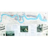
Port of London Authority, plan of the docks, a framed and glazed montage with original map to the upper portion and facsimile of the reverse below...