Filtered by:
- Categoria
4 items
- Elenco
- Grid
A subscription to the Price Guide is required to view results for auctions ten days or older. Click here for more information
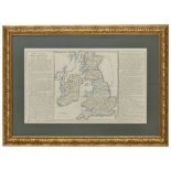

18th century French atlas map of the British Isles, 22" x 13.5" within mount and frame
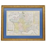
18th century French atlas map of France, 1740, 28" x 27" within mount and frame
Lotto 673
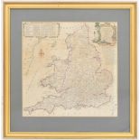
After Kitchin, Thomas (1718-1784) - Kitchin's Most Accurate Map of the Roads of England and Wales,
After Kitchin, Thomas (1718-1784) - Kitchin's Most Accurate Map of the Roads of England and Wales, coloured engraving, 13" x 13.5", framed 19" x ...
Lotto 674
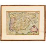
17th century coloured engraving map of Spain and Portugal, Regni Hispaniae post Omnium Editio Nes
67417th century coloured engraving map of Spain and Portugal, Regni Hispaniae post Omnium Editio Nes
17th century coloured engraving map of Spain and Portugal, Regni Hispaniae post Omnium Editio Nes Locuplessima Descriptio, title within armorial c...