Filtered by:
- Category
- List
- Grid
A subscription to the Price Guide is required to view results for auctions ten days or older. Click here for more information
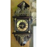

A Dutch starr clock of usual form surmounted by a figure of Atlas
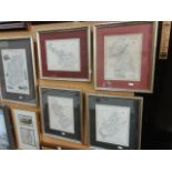
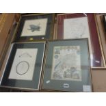
A collection of 19th century maps relating to Ireland and including four examples from Lewis's
A collection of 19th century maps relating to Ireland and including four examples from Lewis's topographical dictionary by R Creighton and showing...
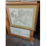
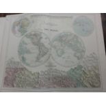
A late 17th century coloured map of Europe by Pierre Du Val engraved by Liebaux and dated 1684, 42 x
A late 17th century coloured map of Europe by Pierre Du Val engraved by Liebaux and dated 1684, 42 x 53 cm in oak frame with gilt slip together wi...
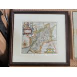
A 17th century coloured map after Christopher Saxton, inscribed Gulielmus Hole and showing the
A 17th century coloured map after Christopher Saxton, inscribed Gulielmus Hole and showing the county of Gloucestershire, 30 x 34 cm in wooden fra...
A collection of 19th century maps including example showing Gloucestershire with vignettes of
A collection of 19th century maps including example showing Gloucestershire with vignettes of Gloucester Cathedral, New Spa Cheltenham and Tewkesb...
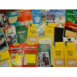
A quantity of Ordnance Survey Landranger maps, further city maps, continental travel maps, etc
A quantity of Ordnance Survey Landranger maps, further city maps, continental travel maps, etc
Blacks General Atlas of the World, circa 1890 together with a quantity of other maps, late 19th
Blacks General Atlas of the World, circa 1890 together with a quantity of other maps, late 19th century early 20th century, together with further ...