360
A late 18c/early 19c road map - London to Hollyhead, hand coloured, framed and glazed, 13.5cm x
1/4


Description
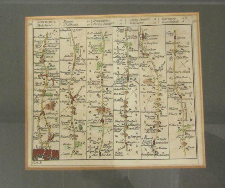
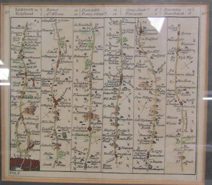
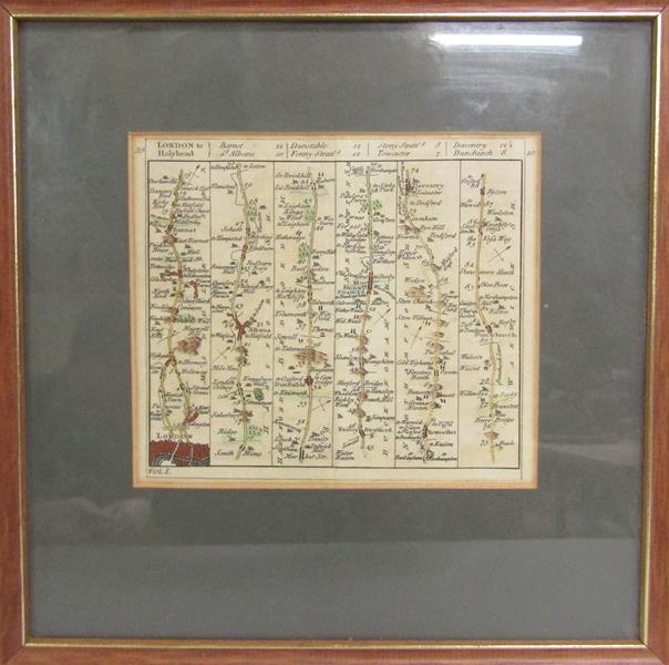
A late 18c/early 19c road map - London to Hollyhead, hand coloured, framed and glazed, 13.5cm x 16cm.
Auction Details
Shipping
T&Cs & Important Info
Ask seller a question
A late 18c/early 19c road map - London to Hollyhead, hand coloured, framed and glazed, 13.5cm x 16cm.
Fine Art & 20th Century Sale
Sale Date(s)
Venue Address
Brook Street
Tring
Hertfordshire
HP23 5EF
United Kingdom
General delivery information available from the auctioneer
Where possible we can quote for postage and packing for small items. Larger items we would recommend Mailboxes or similar. You can also organise your own courier to collect. We may be able to deliver larger items, please contact us to discuss.