Refine your search
Filtered by:
- Category
- List
- Grid
A subscription to the Price Guide is required to view results for auctions ten days or older. Click here for more information
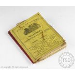

PLANS OF TOWNS TO ACCOMPANY BRADSHAW'S CONTINENTAL RAILWAY GUIDE, with twenty eight folding maps,
PLANS OF TOWNS TO ACCOMPANY BRADSHAW'S CONTINENTAL RAILWAY GUIDE, with twenty eight folding maps, yellow covers with red cloth spine, late 19th c...
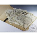
A small selection of mounted bookplates, prints and maps (Qty)
TWEMLOW (F), THE TWEMLOWS - THE WIVE'S AND THEIR HOMES, embellished with plates and maps; with eight other books (9)
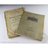
THE HAWKSTONE ESTATE - catalogue for the auction held on September 24th and 25th 1915 by Knight
THE HAWKSTONE ESTATE - catalogue for the auction held on September 24th and 25th 1915 by Knight Frank and Rutley, with plates and folding maps; wi...
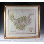
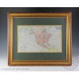
A NEW MAP OF TROPICAL AMERICA NORTH OF THE EQUATOR, comprising West Indies, Central America, Mexico,
A NEW MAP OF TROPICAL AMERICA NORTH OF THE EQUATOR, comprising West Indies, Central America, Mexico, New Canada and Venezuela, by H. Kiepert and p...
Robert Morden, 17th century engraving, A hand coloured map of Shropshire, 38cm x 44cm, (laid),
Robert Morden, 17th century engraving, A hand coloured map of Shropshire, 38cm x 44cm, (laid), with four other Robert Morden maps for South Wales,...
John Cary, Early 19th century hand coloured engraving, A New Map of Cheshire dated 1801, 50cm x 56cm, Framed and glazed
Thomas Bowen, Engravings with hand colouring, Maps of Europe, Africa, Asia, North America and South America, 33.5cm x 40.5cm Framed and glazed
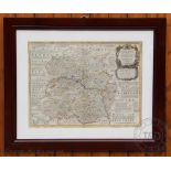
Eman (Emanuel) Bowen (1694-1767), Hand coloured engraving, An Accurate map of Shropshire divided into its hundreds, 54cm x 70cm, Later framed and ...