Refine your search
Filtered by:
- Category
- List
- Grid
A subscription to the Price Guide is required to view results for auctions ten days or older. Click here for more information

Skeleton Map of the Principal Mineral Springs and Sea Bathing Places of England by A.B.Granville.M.D
Skeleton Map of the Principal Mineral Springs and Sea Bathing Places of England by A.B. Granville.M.D.
Double sided map The Road from Kings Lyn to Norwich by J. Owen and E. Bowen c 1720-1764 hand coloured to both sides framed and double glazed 18.5...
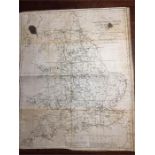
Hand coloured map of Nottinghamshire by T. Kitchen Geographer 22 x 17 cms framed and glazed
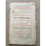
Great Britain Coasting Pilot by Captain Greenville Collins Hydrogapher in Ordinary to the King’s most excellent Majesty printed London Mount & Pag...
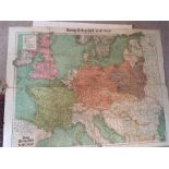
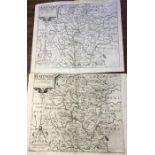
Two World Maps and a Telegraph War Map
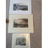
Ingleborough from Hornby Castle Terrace Engraving and Scarborough and Londsburgh
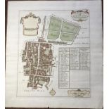
1720 map of Coleman St and Bashishaw ward pub by J Stype after J Stow
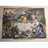
Atlante Novissimo Tomoi, Frontispiece by Antonio Zatta Dated 1779
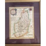
Two maps of Radnor by Christophorus Saxton Both folded and used
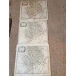
Three Maps Of the County of Monmouth by Robert Morden - All folded and used and one coloured. 38 X 43.5
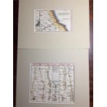
Small 19th Century Map of Scarborough and a Strip Road Map of York to Whitby and Malton to Scarborough.
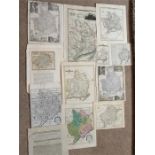
A Large Quantity of Maps of the County of Monmouthshire (22 in Total)
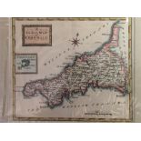
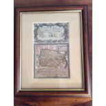
A county Map of Cornwall and the Scilly Isles by Osborne/Hutchinson Circa 1780 15 X 17 cm