Filtered by:
- Category
- List
- Grid
A subscription to the Price Guide is required to view results for auctions ten days or older. Click here for more information
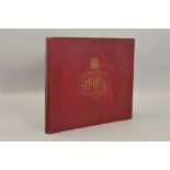

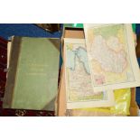
'THE ORDNANCE SURVEY ATLAS OF ENGLAND & WALES', Quarter inch to the mile, 1922 ...[more]
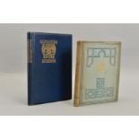
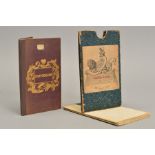
MIDGLEY, W., A.R.C.A, 'A Short History of The Town and Chase of Sutton Coldfield : with two maps and
MIDGLEY, W., A.R.C.A, 'A Short History of The Town and Chase of Sutton Coldfield : with two maps and many pictures', 1st Edition, Midland Countri...
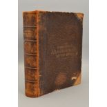
RAND MCNALLY'S INDEXED ATLAS OF THE WORLD, 1st Edition, 1884, two volumes in one, half leather
RAND MCNALLY'S INDEXED ATLAS OF THE WORLD, 1st Edition, 1884, two volumes in one, half leather boards, distressed but contents with many coloured ...
BLACKIE, W.G., 'The Comprehensive Atlas & Geography of The World, comprising an extensive series
BLACKIE, W.G., 'The Comprehensive Atlas & Geography of The World, comprising an extensive series of maps...., 1st Edition, 1882 ...[more]
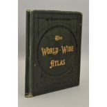
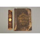
KELTIE, J. SCOTT, 'The World-Wide Atlas of Modern Geography', 7th Edition, Johnston, 1906
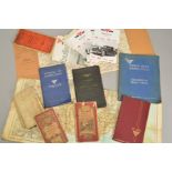
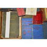
A PARCEL OF MOTORING BOOKS, to include 'Handbook for Bentley 3 1/2 Litre Car' (1931), 'Alvis 4.3
A PARCEL OF MOTORING BOOKS, to include 'Handbook for Bentley 3 1/2 Litre Car' (1931), 'Alvis 4.3 Litre' instruction book, 'Alvis 3 Litre model T.D...
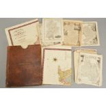
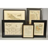
ATLAS TO THE TOPOGRAPHICAL DICTIONARIES OF ENGLAND AND WALES..., a collection of coloured county
ATLAS TO THE TOPOGRAPHICAL DICTIONARIES OF ENGLAND AND WALES..., a collection of coloured county maps and a fold-out plan of London, published S. ...
GREENWOODS MAP OF THE COUNTY OF SURREY, hand-coloured, 1829, together with a folder of approximately
GREENWOODS MAP OF THE COUNTY OF SURREY, hand-coloured, 1829, together with a folder of approximately 19th Century county maps

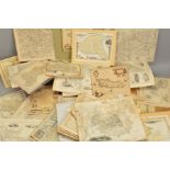
A BOX OF ROLLED 25'' TO THE MILE ORDNANCE SURVEY MAPS

A BOX OF ROLLED 19TH CENTURY AND 20TH CENTURY MAPS AND CHARTS
BACON'S NEW SURVEY MAPS, including Staffordshire, pub. circa 1900, fully coloured, large folding
BACON'S NEW SURVEY MAPS, including Staffordshire, pub. circa 1900, fully coloured, large folding maps, (fourteen maps in total)
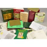
BURDEN, EUGENE, printed maps of Berkshire (proof copy), together with a number of other map reference books (one box)
FOLDING MAPS AND TOWN PLANS, 20th Century (two boxes)
EARLY 20TH CENTURY ATLAS'S AND 'THE UNRIVALLED ATLAS', 1891
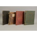
FOUR 19TH CENTURY AND EARLY 20TH CENTURY ATLASES, comprising 'Atlas to The Topographical Dictionaries of England and Wales' (Lewis 1849), 'New Gen...
DIX, THOMAS, A New Map of The County of Stafford : Divided Into Hundreds, 1st Edition, W.M., Darton,
DIX, THOMAS, A New Map of The County of Stafford : Divided Into Hundreds, 1st Edition, W.M., Darton, 1818, together with Staffordshire Divided Int...
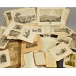
STAFFORDSHIRE, a box of prints, plans, maps and literature
ANTIQUE MAPS, 17th to 20th Century (one box)
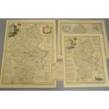
STAFFORDSHIRE, CHRISTOPHER SAXTON & PHILIP LEA, a 17th Century map with plans of Stafford and
STAFFORDSHIRE, CHRISTOPHER SAXTON & PHILIP LEA, a 17th Century map with plans of Stafford and Lichfield to the right hand side, hand coloured outl...
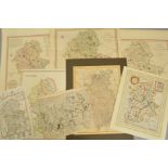
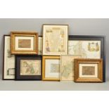
STAFFORDSHIRE, a collection of eight unframed maps, including H. Moll with antiquities to top and
STAFFORDSHIRE, a collection of eight unframed maps, including H. Moll with antiquities to top and bottom margins, a William Hole copper engraving ...
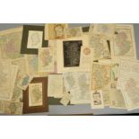
STAFFORDSHIRE, a collection of county maps and bookplates, many hand tinted, including Robert
STAFFORDSHIRE, a collection of county maps and bookplates, many hand tinted, including Robert Morden, Emanuel Bowen, Bowles, Langley, Thomas Kitch...
ANTIQUE MAPS AND PRINTS OF THE WEST INDIES, BARBADOS AND THE ANTILLES ISLANDS, to include maps by A.
ANTIQUE MAPS AND PRINTS OF THE WEST INDIES, BARBADOS AND THE ANTILLES ISLANDS, to include maps by A. Van Krevelt 1777 and Rigobert Bonne, together...
ANTIQUE MAPS OF THE WEST INDIES, BARBADOS AND THE ANTILLES ISLANDS, to include maps by Jaques
ANTIQUE MAPS OF THE WEST INDIES, BARBADOS AND THE ANTILLES ISLANDS, to include maps by Jaques Nicolas Bellin, James Wyld and Rigobert Bonne, three...
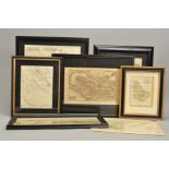
A COLLECTION OF ANTIQUE MAPS OF GREAT BRITAIN AND EUROPE, to include maps by the following cartographers: Daniel De La Feuille, Petrus Kaerius, Jo...
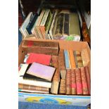
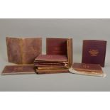
TWO BOXES OF BOOKS, to include 'Country Life Illustrated', 'Burkitt on the New Testament', '
TWO BOXES OF BOOKS, to include 'Country Life Illustrated', 'Burkitt on the New Testament', 'Italian Gardens', 'The Oxford Atlas' etc
A BOX OF ORDNANCE SURVEY MAPS ETC
TWO COPIES OF HEMSWORTH ATLAS AND GAZETTER, disbound
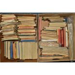
THREE BOXES OF ORDNANCE SURVEY MAPS, ETC, to inlclude sheet music books etc
SIX BOXES OF BOOKS, ORDNANCE SURVEY MAPS ETC, to include two volumes 'History of England', Bernard's
SIX BOXES OF BOOKS, ORDNANCE SURVEY MAPS ETC, to include two volumes 'History of England', Bernard's Radio manuals, motor cars, history related etc