Refine your search
Filtered by:
- Category
- List
- Grid
A subscription to the Price Guide is required to view results for auctions ten days or older. Click here for more information
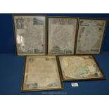

Five small Maps including Herefordshire, Nottinghamshire, Essex, etc., 11 3/4'' x 9'' approx.
Five small Maps including Herefordshire, Nottinghamshire, Essex, etc., 11 3/4'' x 9'' approx.
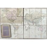
A Henry Teesdale fold out Map of the world "A New Chart of the World on Meractor's Projection with
A Henry Teesdale fold out Map of the world "A New Chart of the World on Meractor's Projection with the Tracks of the Most Celebrated and Recant Na...
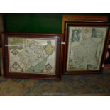
A framed coloured map of Monmouthshire, together with another map of Monmouthshire
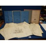
A quantity of Royal Commission on Vaccination 1889 -1897 reports (five) and three appendices with
A quantity of Royal Commission on Vaccination 1889 -1897 reports (five) and three appendices with diagrams and maps etc including large scale map ...
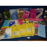
A quantity of Ordnance Survey maps including French, Wye Valley and Forest of Dean, some National Trust booklets etc.
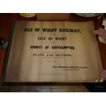
A laced bound set of Maps & Charts, 20 sheets plus the title leaf, ''Isle of Wight Railway in the Isle of Wight and County of Southampton - Plans ...