
Refine your search
Filtered by:
- Category
4 items
- List
- Grid
A subscription to the Price Guide is required to view results for auctions ten days or older. Click here for more information
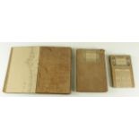

Lot 718
Folding Maps. Three folding maps, circa 19th Century, comprising Carta Corografica, dello Stato
Folding Maps. Three folding maps, circa 19th Century, comprising Carta Corografica, dello Stato Pontiticio...; France, Routiere, Physique et Admin...
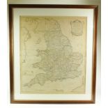
Lot 726
Kitchin (Thomas). England & Wales, Accuarately Delineated From the Latest Surveys, 1783, large map
Kitchin (Thomas). England & Wales, Accuarately Delineated From the Latest Surveys, 1783, large map hand coloured in outline, mounted, framed and g...
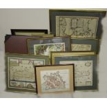
Lot 727
Maps. A collection of eight engraved maps,, including Creta Seu Candiae, Insula et Regnum cum
Maps. A collection of eight engraved maps,, including Creta Seu Candiae, Insula et Regnum cum Diverersis Aliis Archipelagi Insulis, by Nicolaum Vi...
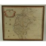
Lot 729
Morden (Robert). Cumberland, circa late 17th to early 18th Century, original hand coloured map,
Morden (Robert). Cumberland, circa late 17th to early 18th Century, original hand coloured map, image size 36cm x 43cm approx. framed