Filtered by:
- Category
4 items
- List
- Grid
This auctioneer has chosen to not publish their results. Please contact them directly for any enquiries.
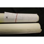

Lot 76
Maps: Ordnance Survey Maps x 24 (see list with lot). Plus Geographical maps of places in the UK
Maps: Ordnance Survey Maps x 24 (see list with lot). Plus Geographical maps of places in the UK for 1909. 1910. 1911. 1930, 1937 (7).
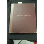
Lot 77
Stielers Hand - Atlas: 19th cent. (1909) Hardback cover with named nations sleeves for each set of
77Stielers Hand - Atlas: 19th cent. (1909) Hardback cover with named nations sleeves for each set of
Stielers Hand - Atlas: 19th cent. (1909) Hardback cover with named nations sleeves for each set of maps. Approx. 97. 19½ins. x 16¼ins.
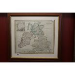
Maps: Robert Morden Britannia Rohana. Framed and glazed. 17ins. x 14½ins.
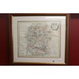
Maps: Robert Morden map of Wiltshire. Framed and glazed 16ins. x 14ins.