Refine your search
Filtered by:
- Category
- List
- Grid
A subscription to the Price Guide is required to view results for auctions ten days or older. Click here for more information
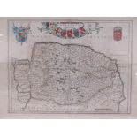

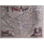
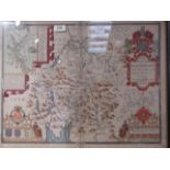
A 17th Century hand coloured map of Norfolk in double glazed frame, 46cm x 62cm
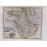
EMAN BOWEN 17th: A Century hand coloured map of Turkey in Asia, Arabia, 35cm x 44cm, framed and glazed
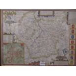
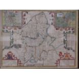
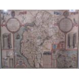
A 17th Century hand coloured map of Nottinghamshire in double glazed frame, possibly by Joannes Blaeu, 46cm x 57cm
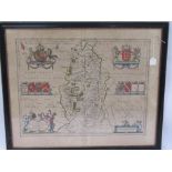
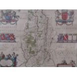
After John Speed: a hand-coloured map of Leicestershire, double glazed, 39cm x 52.5cm ...[more]
Two 18th Century road maps "Huntingdon to Ipswich" by John Ogilby and "London to Barwick" discoloured and foxed, framed and glazed (2)
A John Blaeu engraved and coloured map of Cheshire, 38cm x 49.5cm,
Two framed and glazed antique hand coloured maps of Wiltshire and Gloucestershire
Two framed and glazed antique hand coloured maps of Buckinghamshire and Nottinghamshire, Robert Morden
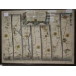
Three framed and glazed hand coloured road maps of "Huntingdon to Ipswich" and Exeter to Dorchester/Plymouth to Dartmouth (John Ogilby) and London...
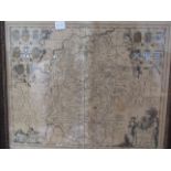
Three framed and glazed antique maps of Northern England - North/East Ridings of Yorkshire and
Three framed and glazed antique maps of Northern England - North/East Ridings of Yorkshire and Westmorland (3)
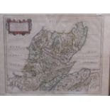
Three framed (2 glazed) hand coloured antique maps of Merionith, North Scotland and Westmorland (3)
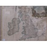
An 18th Century hand coloured map of the British Isles, Carte Des Grandes Routes, D'Angleterre d'Ecosse et d'Irelande, 1757, framed and glazed
A hand coloured map of Staffordshire after John Speed, double glazed and framed ...[more]
A hand coloured map of Cumberland after John Speed, double glazed and framed ...[more]