Filtered by:
- Category
- List
- Grid
A subscription to the Price Guide is required to view results for auctions ten days or older. Click here for more information
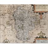

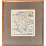
Christopher Saxton (act.c.1540-1610) with William Kip, hand coloured map of Bedford, 27.5 x 33cm
Christopher Saxton (act.c.1540-1610) with William Kip, hand coloured map of Bedford, 27.5 x 33cm
A late 18th century map of Dorsetshire, 12x15cm; together with a 19th century map of Devon from
A late 18th century map of Dorsetshire, 12x15cm; together with a 19th century map of Devon from Lewis' Topographical Dictionary, 24x29cm
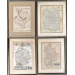
A set of four 19th century maps, Huntingdonshire, Shropshire, Bedfordshire and Herefordshire, each
A set of four 19th century maps, Huntingdonshire, Shropshire, Bedfordshire and Herefordshire, each approx. 25x20cm (4)
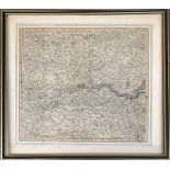
John Cary, An Accurate Map of the Countries 25 miles round London, 38x43cm
A map of Suffolk from Lewis' Topographical Dictionary, 23x30cm; together with a 19th century map
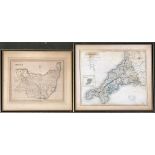
A map of Suffolk from Lewis' Topographical Dictionary, 23x30cm; together with a 19th century map of Cornwall, 32x38cm (2)
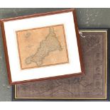
An 18th century map of Devon, 21x19cm
A 19th century J. Cary map of Cornwall, 21x26cm; together with one other of Hampshire,
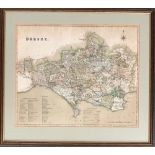
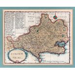
A 19th century map of Dorset, 33x40cm
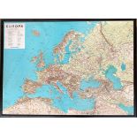
A raised relief map of Europe (af), 90x65cm; together with one other of the UK 65x75cm