Filtered by:
- Category
- List
- Grid
A subscription to the Price Guide is required to view results for auctions ten days or older. Click here for more information
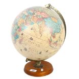

A Vintage Scan globe A/S English edition, height 42cm
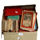
A box of 1930s - 1960s maps and travel books, including The Ordinance Survey Contoured Road Map of
A box of 1930s - 1960s maps and travel books, including The Ordinance Survey Contoured Road Map of Land's End And Lizard, various travel books inc...
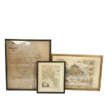
Antique framed map of Staffordshire by Robert Morden, height 46cm overall, a map of Oxfordshire, and
Antique framed map of Staffordshire by Robert Morden, height 46cm overall, a map of Oxfordshire, and a French map of Mont St Michel?
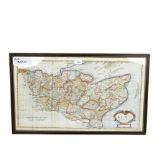
Antique map of Kent by Robert Morden, framed, height 41cm overall
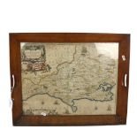
An 18th century hand painted map of Dorsetshire, displayed in an oak-framed tray, 46 x 45cm
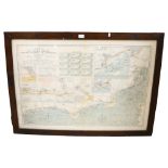
Stanford's Chart Of The English Channel From The Good Winds To Selsey Bill, together with insert
Stanford's Chart Of The English Channel From The Good Winds To Selsey Bill, together with insert charts of Dover, Rye Harbour, Newhaven etc, based...
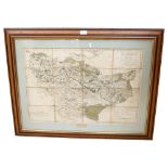
An 18th century hand coloured map, "South Of Kent", showing the line of the intended Thames Medway
An 18th century hand coloured map, "South Of Kent", showing the line of the intended Thames Medway canal, shown in 16 squares applied to a linen b...