Filtered by:
- Category
4 items
- List
- Grid
A subscription to the Price Guide is required to view results for auctions ten days or older. Click here for more information
![Saxton (Christopher) & Speed (John) The Kingdome of England,1610 [c1611], Sudbury and Humble, hand-](https://portal-images.azureedge.net/auctions-2017/bishop10042/images/2e193a78-d225-4d8f-ac1b-a74601157758.jpg?w=155&h=155)

Lot 424
Saxton (Christopher) & Speed (John) The Kingdome of England,1610 [c1611], Sudbury and Humble, hand-
Saxton (Christopher) & Speed (John) The Kingdome of England,1610 [c1611], Sudbury and Humble, hand-coloured map, 383mm x 508mm, engraved by Hondiu...
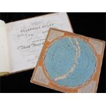
Middleton's Celestial Atlas, circa 1854, cloth bound with the Celestial Planisphere, (2)
Lot 452
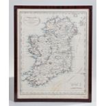
J Russell map of Ireland, divided into Provinces and Counties from the best authorities, hand
J Russell map of Ireland, divided into Provinces and Counties from the best authorities, hand coloured, 34cm x 43cm
James Wyld. A General Atlas, Containing Maps Illustrating some Important Periods in Ancient History and distinct Maps of the Several Empires, King...