Sortieren nach:
- Kategorie
- Liste
- Galerie
Ein Abonnement der Preisliste ist notwendig um Ergebnisse, von Auktionen die vor einem längeren Zeitraum als 10 Tagen stattgefunden haben, ansehen zu können. Klicken Sie hier für mehr Informationen
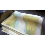

A large quantity of sea charts, 19th Century and later, to include maps of the Solent, Isles of Scilly, Plymouth, Channel Isles, Brittany and othe...
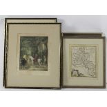
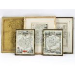
A Thomas Kitchen map of Oxfordshire, 22cm x 18cm, another the same, two signed prints by G Sydney Hunt and one other
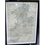
Archibald Fullarton and others/Cumberland, Northamptonshire, Monmouthshire, North Wales, South Wales, Cumberland and Herefordshire/seven engraved ...
Two maps of Worcestershire and a group of sundry prints
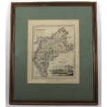
J Cary 1809/Gloucestershire/engraving and sundry maps
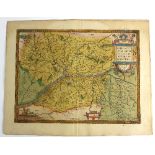
Abraham Ortelius/Lorraine (Lotharingiae) 1587/Touraine (Turonensis) 1592/Anjou (Andegaben) 1579/Gallia 1590/Britanniae et Normandie 1594/Regionis ...