Filtered by:
- Category
- List
- Grid
Results for live webcast and timed auctions may not have been verified by the auctioneer. If you are in any doubt of the accuracy of the prices provided, please call the auction house to confirm.
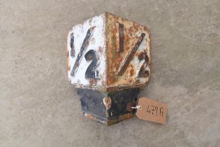

Great Northern Railway '1/2' mile cast iron railway marker, in original removed condition
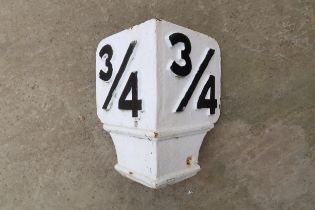
Great Northern Railway '3/4' mile cast iron railway marker, in original removed condition
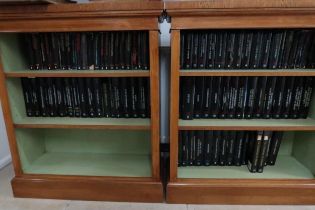
87 Editions of the Buildings of England, Towns and Cathedrals, By Pevsner.
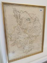
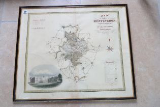
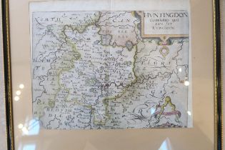
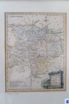
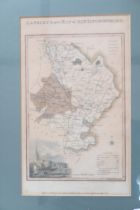
A map of Huntingdonshire by Cary circa 1809 - 56cm x 45cm
A framed map of Huntingdon Castle by Greenwood circa 1829 - 77cm x 65cm
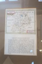
A framed map of Huntingdon circa 1767 - 70cm x 52cm
A coloured map of Huntingdon by Speed/Overton circa 1701 - 54cm x 40cm
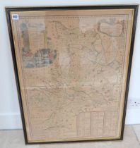
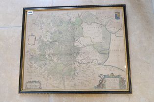
A map of Great Level of Fens by Harris after Jones Moor circa 1701 - 41cm x 30cm
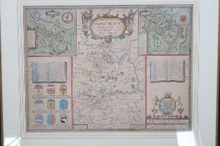
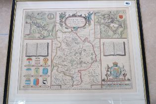
A Speed Bassett map of Huntingdon circa 1656 - 51cm x 40cm
A framed map Ioannis Lansonil of Fens circa 1650 - Cambridge to the North Sea
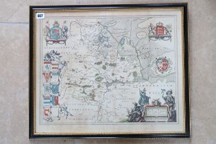
A framed map of Huntingdonshire by Blaeu - double sided - 53cm x 44cm - 1647
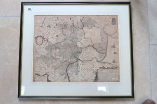
A map of Regiones Invndate by Blaeu - double sided circa 1645 - 56cm x 45cm
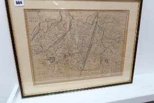
A John Speed double sided map of Cambs & Suffolk circa 1610 - 53cm x 45cm
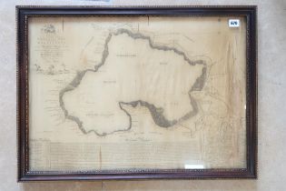
A silk map of Whittlesey Mere - silk in poor condition - 66cm x 46cm
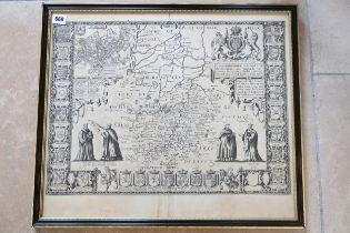
A coloured framed map of Huntingdon circa 1610 by Saxton Kip - 33cm x 25cm
A framed map of Huntingdon and Beds by Blome 1673 - 24cm x 20cm
A framed map of Huntingdon circa 1766 - double sided - 22cm x 15cm
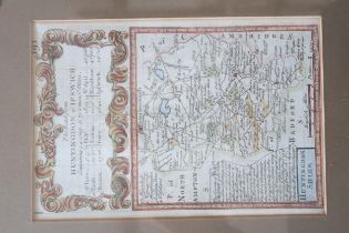
A framed map of Huntingdon Ipswich Road, double sided by Owen & Bowen circa 1740 - 18cm x 12cm
A framed map of Huntingdon Ipswich Road, double sided by Owen & Bowen circa 1740 - 18cm x 12cm
A framed map of Huntingdonshire by Ellis - 25cm x 19cm - circa 1766
A framed map of Huntingdonshire by Hogg circa 1784 - 15cm x 10cm
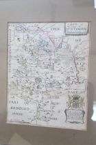
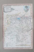
A framed map of Huntingdonshire by Langley circa 1818 - 30cm x 19cm