Filtered by:
- Sale Section,
- Category
- List
- Grid
A subscription to the Price Guide is required to view results for auctions ten days or older. Click here for more information
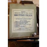

Philip's teaching map of the British Isles and other teaching maps (6)
***REOFFER MAY £60/80*** Gillies: H.D. Plastic surgery of the face: Pub. Frowde and Has.1920 with original illustrations plus Atlas and epitome of...
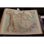
An Andrees Handatlas 1907 world atlas including German colonies
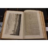
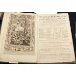
***REOFFER MAY £100/150*** Burlington, Charles, 1779, Modern Universal British Traveller, London: James Cooke, with engravings and maps, full boun...
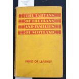
The Tartans of the Clans and Families of Scotland, by Thomas Innes of Learney, 1945, hard backed
***REOFFER MAY £40/60*** George Augustus Walpoole: The New British Traveller or Complete Modern
***REOFFER MAY £40/60*** George Augustus Walpoole: The New British Traveller or Complete Modern Universal Display of Great Britain, pub Hogg 1784:...
A collection of twenty nine ordinance survey maps, dating from the 1920s/30s, along with a copy of 'Geographia', map of the World - provenance: Mr...
Two framed maps, comprising 'Svssesia, Sure Southlex olm pars Regnorvm', hand tinted, 22cm high and
Two framed maps, comprising 'Svssesia, Sure Southlex olm pars Regnorvm', hand tinted, 22cm high and 38cm wide, together with a 'Middlesex' 19th ce...
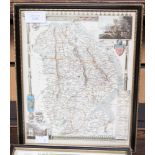
An early 19th Century map of Lincolnshire
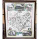
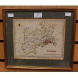
A 19th Century map of Leicestershire
A 19th Century map of Leicestershire
A pair of large framed maps, entitled 'Somerset Tensis Comitatvs, Somerset Shire' and Sussex, both
A pair of large framed maps, entitled 'Somerset Tensis Comitatvs, Somerset Shire' and Sussex, both hand coloured, 40cm high, 52cm wide, mounted an...
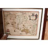
A large framed Italian map, entitled 'Campagna Di Roma, olim Latium: Patrimonio Di S.Pietro et
A large framed Italian map, entitled 'Campagna Di Roma, olim Latium: Patrimonio Di S.Pietro et Sabina', hand coloured, 39cm high, 50cm wide, mount...
Army orientation kit owned by a Lt. G.E. Brown (2) and map holder