Filtered by:
- Category
7 items
- List
- Grid
A subscription to the Price Guide is required to view results for auctions ten days or older. Click here for more information

Map of England by Thomas Bowen circa 1780, plus a Small Map of Yorkshire
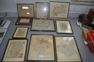
Ten Framed Map Dated From 1720's Including Lincolnshire, Cornwall, etc.
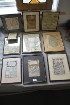
Ten Framed Vintage Maps 1740's etc.
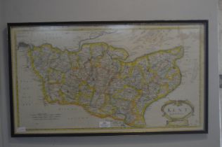
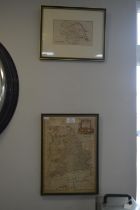
Map of Kent by Morden circa 1700 plus Map of South Wales
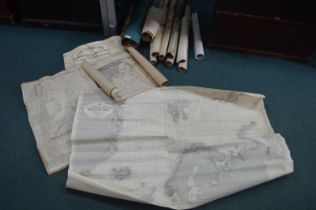
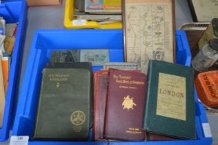
Vintage Fishing Charts, Ordinance Survey Maps, etc.
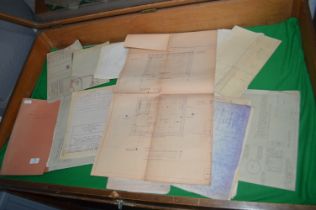
Railway Plans and Blueprints for Hull and East Riding