Refine your search
Filtered by:
- Category
- List
- Grid
A subscription to the Price Guide is required to view results for auctions ten days or older. Click here for more information
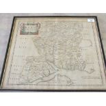

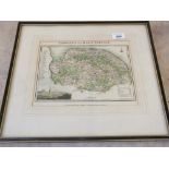
An 18th Century Morden coloured map of Hampshire, 15 1/2" x 17 1/2"
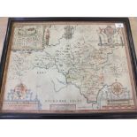
A 17th Century Speed coloured map of Radnor, 15 1/2" x 20 1/2"
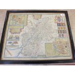
A 17th Century Speed coloured map of Gloucestershire, 16" x 21"
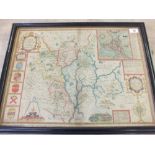
A 17th Century Speed coloured map of Worcestershire, 15 1/2" x 20 1/2"
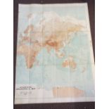
A Stanford two piece orographical folding world map in slip case, 1922

A Cary map of Monmouthshire, gilt frame and other pictures
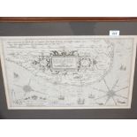
A map of the East Anglian Coast by L. Waghanaer 1586 14" x 21"
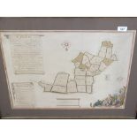
A colour plan of Sproughton, Washbrook and Bellsteed by J. Mynde 1745 from an original, 1633, 18" x 22"
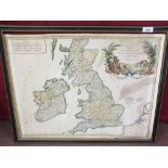
A French colour map of the British Isles by St Robert, 1757, 20" x 23"

A map of a farm in Thorpe and Haddiscoe c.18th Century, 31" x 26"
Langleys map of Norfolk 1828, full colour, 8" x 10"