Filtered by:
- Category
- List
- Grid
A subscription to the Price Guide is required to view results for auctions ten days or older. Click here for more information
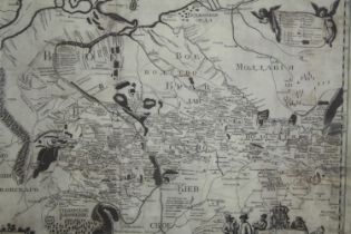

An engraved, framed and glazed map; around Kiev, 19th century. H.55 W.59cm.
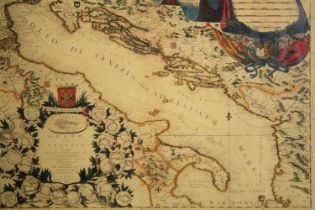
A 19th century engraved map, hand coloured, Golfo di Venezia, framed and glazed. H.43 W.54cm.
A 19th century engraved map, hand coloured, Golfo di Venezia, framed and glazed. H.43 W.54cm.
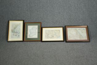
A miscellaneous collection of four maps, 19th century engraved, framed and glazed. H.46 W.33cm. (
A miscellaneous collection of four maps, 19th century engraved, framed and glazed. H.46 W.33cm. (Largest).
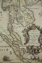
A reproduction map of the Kingdom of Siam and surrounding countries, dated 1686: R, Placide Augustin
A reproduction map of the Kingdom of Siam and surrounding countries, dated 1686: R, Placide Augustin Dechausse. Framed but unglazed. H.79 W.62cm.
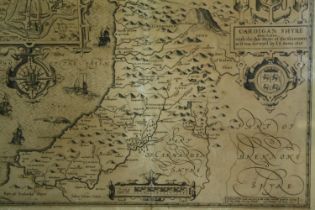
Cardiganshire. Speed (John), Cardigan Shyre Described with the due forme of the Shire Town as it was
Cardiganshire. Speed (John), Cardigan Shyre Described with the due forme of the Shire Town as it was Surveyed by J. S. Anno 1610, John Sudbury & G...

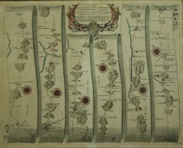
Map, engraved framed and glazed, 19th century John Ogilby, strip map Carmarthen to Aberystwyth. H.60
Map, engraved framed and glazed, 19th century John Ogilby, strip map Carmarthen to Aberystwyth. H.60 W.69cm.
A 19th century framed and glazed strip map; Pembroke. H.40 W.49cm.
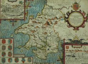
A 19th century glazed and framed double sided map; Pembrokeshire. H.43 W.56cm.
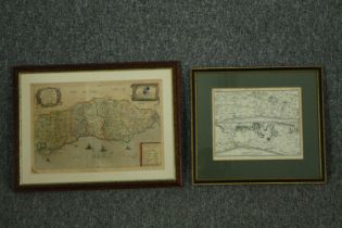
Two 19th century framed and glazed maps. H.32 W.42cm. (Largest)