Filtered by:
- Category
- List
- Grid
A subscription to the Price Guide is required to view results for auctions ten days or older. Click here for more information
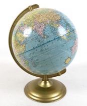

A 10 1/2 inch Scholastic world globe.
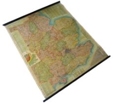
A Richardson's Map of South East & Central England, wall hanging on wooden roller, 118 by 97cm.
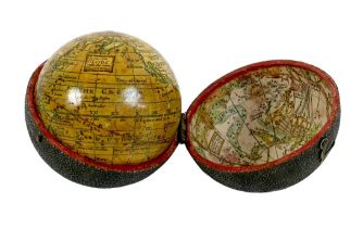
A George III pocket globe and shagreen case, 2 ¾" diameter, likely George Adams after Herman Moll,
A George III pocket globe and shagreen case, 2 ¾" diameter, likely George Adams after Herman Moll, titled 'A Correct Globe with the new Discoverie...
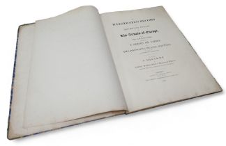
'An Illustrated Record of the Important Events in the Annals of Europe through the years 1812,
'An Illustrated Record of the Important Events in the Annals of Europe through the years 1812, 1813, 1814 & 1815 Comprising a series of Views, Bat...
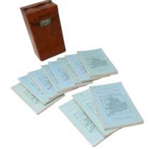
A Sifton Praed & Co. Ltd. leather cased set of Bartholomew's Road Maps for England and Wales, sheets
A Sifton Praed & Co. Ltd. leather cased set of Bartholomew's Road Maps for England and Wales, sheets 1-8 and 10-12.
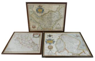
A coloured map of Northamptonshire, by Robert Morden, 35.5 by 41.5cm, glazed and framed, 41 by 46cm, a coloured map of Cestriae, after Saxton, 39 ...
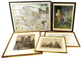
A group of prints and maps, comprising 'An Accurate Map of Devon Shire ...', by Emmanuel Bown, 53 by
A group of prints and maps, comprising 'An Accurate Map of Devon Shire ...', by Emmanuel Bown, 53 by 68 , glazed and framed, 60 by 45cm, 'New Map ...