Filtered by:
- Sale Section,
- Category
5 items
- List
- Grid
A subscription to the Price Guide is required to view results for auctions ten days or older. Click here for more information

Two boxes containing eighty Ordnance Survey Maps.
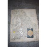
A Cary's reproduction map of England and Wales, with parts of Scotland, published 1830, with card slip case, retailed through Thurman, Carlisle.
A Mercantile Marine Atlas 7th Edition especially designed for merchant shippers, exporters and ocean travellers.
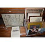
An antique road map - "The Road From Tinmouth In Northumberland To The City Of Carlisle In Cumberland", by John Ogleby; together with reproduction...
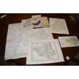
Antique engraved maps with hand-colouring, to include: Durham; Northumberland; and "A General Map of The Roman Or Picts Walls...."; together with ...